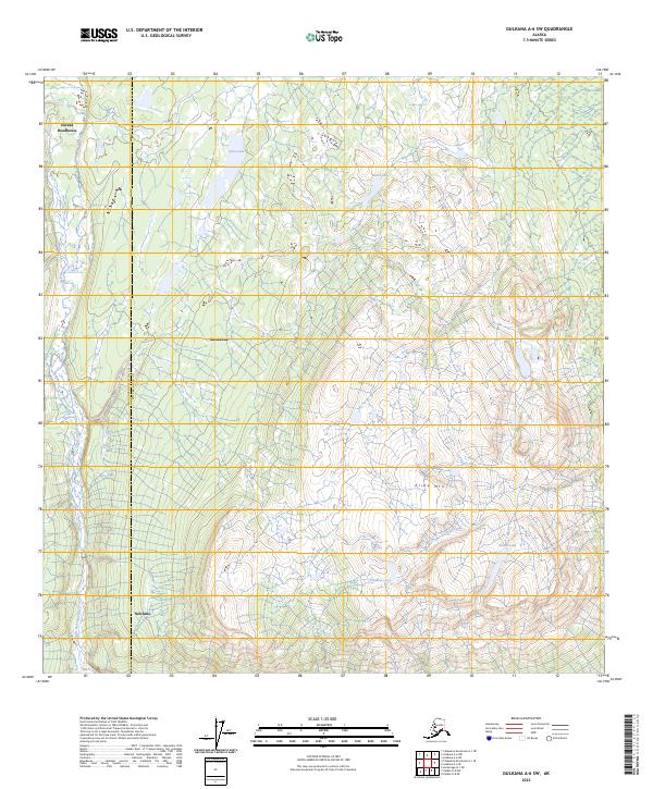
2023 Map of Gulkana A-6 SW
USGS Topo · Published 2023About this map
Eureka Roadhouse stands as a focal point in this high-country landscape, positioned near the boundary between the Matanuska-Susitna Co Copper River Co. The terrain is defined by its glacial and hydrological features, with the Little Nelchina River winding through the western sections. Notable settlements like Mendeltna and Nelchina anchor the local geography, while the prominence of Slide Mtn suggests a varied and high-elevation interior. A network of smaller water bodies, including John Lake, Bear Lake, and the uniquely named Planaria Lake, illustrates the complex drainage patterns common to this subarctic region. The presence of Cache Creek and Fossil Lake indicates a landscape shaped by both active water systems and geological history, providing a detailed view of the remote interior corridors between major Alaskan river basins.
Find a feature on this map
17 named features on this map. Tap any name to fly to it.
Don’t see what you’re looking for? This feature index may not catch every label — zoom into the map to look around manually.
Map Details
Editions of this 2023 Gulkana A-6 SW Map
This is the sole edition of this map. No revisions or reprints were ever made.
Other maps of this area

1948 · Anchorage D-1
USGS Topo · 1:63,360

1949 · Talkeetna Mountains A-1
USGS Topo · 1:63,360

1949 · Gulkana A-6
USGS Topo · 1:63,360

1949 · Valdez D-8
USGS Topo · 1:63,360

1950 · Talkeetna Mountains
USGS Topo · 1:250,000

1951 · Gulkana
USGS Topo · 1:250,000

1951 · Anchorage
USGS Topo · 1:250,000

1951 · Anchorage D-1
USGS Topo · 1:63,360

1952 · Valdez D-8
USGS Topo · 1:63,360

1952 · Valdez
USGS Topo · 1:250,000