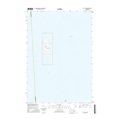
2017 Map of Gull Island
USGS Topo · Published 2017About this map
Lake Michigan surrounds a remote landscape where the boundary between Schoolcraft Co and Charlevoix Co cuts through open water. The primary landmark of this maritime quadrangle is Gull Island, a small landmass defined by its lonely position within the lake. Topographic detail on the island reveals elevation contours and the surveying grid of t38n r12w, including sections 6, 7, and 18. To the southeast, the submerged Gull Island Reef represents a significant underwater feature in this section of the Beaver Island archipelago. This survey illustrates the isolation of Michigan’s offshore islands, where land management lines and natural reefs are the only defined markers in a vast aquatic environment.
Find a feature on this map
8 named features on this map. Tap any name to fly to it.
Don’t see what you’re looking for? This feature index may not catch every label — zoom into the map to look around manually.
Map Details
Editions of this 2017 Gull Island Map
This is the sole edition of this map. No revisions or reprints were ever made.
Other maps of this area
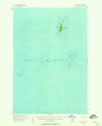
1955 · Gull Island
USGS Topo · 1:62,500
1955 · Cheboygan
USGS Topo · 1:250,000
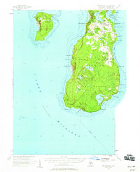
1956 · Beaver Island
USGS Topo · 1:62,500
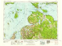
1958 · Cheboygan
USGS Topo · 1:250,000
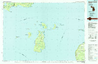
1984 · Beaver Island
USGS Topo · 1:100,000
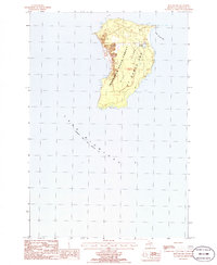
1986 · High Island
USGS Topo · 1:24,000
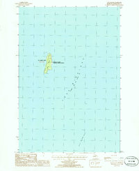
1986 · Gull Island
USGS Topo · 1:24,000
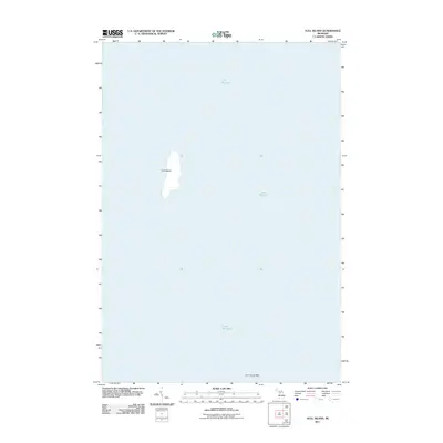
2011 · Gull Island
USGS Topo · 1:24,000
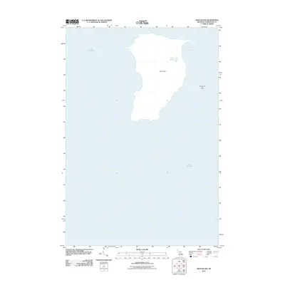
2011 · High Island
USGS Topo · 1:24,000
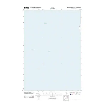
2011 · Beaver Island South OE W
USGS Topo · 1:24,000