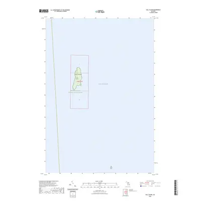
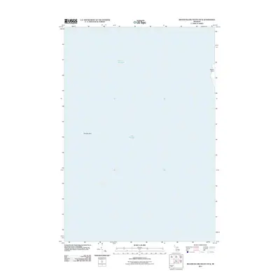
2023 Map of Gull Island
USGS Topo · Published 2023About this map
Gull Island sits as a solitary landmass within the Beaver Archipelago in the northern waters of Lake Michigan. As a protected component of the Michigan Islands National Wildlife Refuge, the island represents a preserved natural habitat nearly isolated from the mainland of Charlevoix County. This 2023 survey delineates the island's low-lying topography and surrounding hazards, most notably the Gull Island Reef located to the southeast. The map clearly defines the Public Land Survey System grid for Township 38 North, Range 12 West, showing the island's placement across sections 6 and 7. This specialized nautical and terrestrial view highlights the critical role of these remote islands in Great Lakes conservation and navigation.
Find a feature on this map
9 named features on this map. Tap any name to fly to it.
Don’t see what you’re looking for? This feature index may not catch every label — zoom into the map to look around manually.
Map Details
Editions of this 2023 Gull Island Map
This is the sole edition of this map. No revisions or reprints were ever made.
Other maps of this area

1955 · Gull Island
USGS Topo · 1:62,500

1955 · Cheboygan
USGS Topo · 1:250,000

1956 · Beaver Island
USGS Topo · 1:62,500

1958 · Cheboygan
USGS Topo · 1:250,000

1984 · Beaver Island
USGS Topo · 1:100,000

1986 · High Island
USGS Topo · 1:24,000
1986 · Gull Island
USGS Topo · 1:24,000
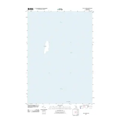
2011 · Gull Island
USGS Topo · 1:24,000
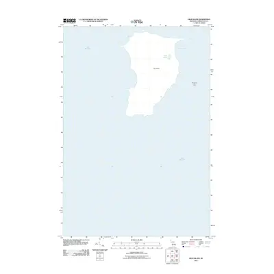
2011 · High Island
USGS Topo · 1:24,000
2011 · Beaver Island South OE W
USGS Topo · 1:24,000