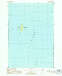
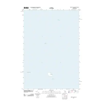
1986 Map of Gull Island
USGS Topo · Published 1986About this map
Gull Island emerges from the waters of Lake Michigan as a protected sanctuary within the Michigan Islands National Wildlife Refuge. Located in the remote waters of St James Twp, this isolated landform is a critical point for Great Lakes navigation, marked at its northern tip by a Light. The surrounding aquatic landscape is defined by the extensive Gull Island Reef to the southeast and the smaller southern feature identified as S Gull. This 1980s survey provides a clear view of the island's natural contours and boundaries before any modern shifts in lake levels or conservation management, serving as a primary reference for the environmental history of this offshore Michigan wilderness.
Find a feature on this map
7 named features on this map. Tap any name to fly to it.
Don’t see what you’re looking for? This feature index may not catch every label — zoom into the map to look around manually.
Map Details
Editions of this 1986 Gull Island Map
This is the sole edition of this map. No revisions or reprints were ever made.
Other maps of this area

1955 · Gull Island
USGS Topo · 1:62,500

1955 · Cheboygan
USGS Topo · 1:250,000

1956 · Beaver Island
USGS Topo · 1:62,500

1958 · Cheboygan
USGS Topo · 1:250,000

1984 · Beaver Island
USGS Topo · 1:100,000

1986 · High Island
USGS Topo · 1:24,000
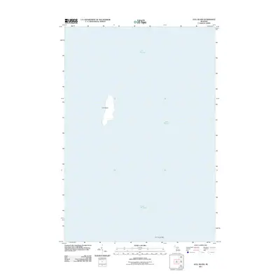
2011 · Gull Island
USGS Topo · 1:24,000
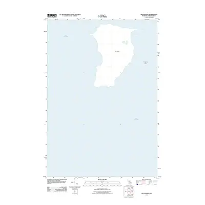
2011 · High Island
USGS Topo · 1:24,000
2011 · Beaver Island South OE W
USGS Topo · 1:24,000
2011 · Trout Island
USGS Topo · 1:24,000