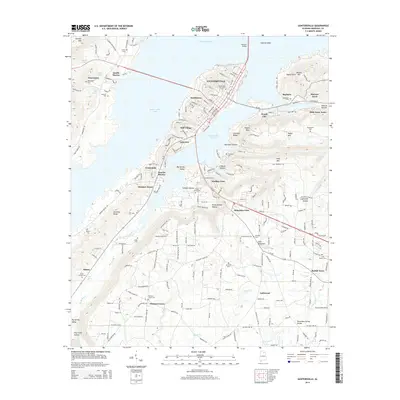
2014 Map of Guntersville
USGS Topo · Published 2014About this map
Guntersville occupies a strategic peninsula on the southern banks of Guntersville Lake, where the waters of the Tennessee River are constrained by the Houston Bridge. The map details the residential and industrial expansion surrounding the town, showing the distinct neighborhoods of Southtown, Mill Village, and Wyeth City. Beyond the urban center, the terrain is defined by dramatic ridges and valleys, including Georgia Mtn and Dividing Ridge, which overlook the expansive Big Spring Valley.
Find a feature on this map
213 named features on this map. Tap any name to fly to it.
Don’t see what you’re looking for? This feature index may not catch every label — zoom into the map to look around manually.
Map Details
Editions of this 2014 Guntersville Map
This is the sole edition of this map. No revisions or reprints were ever made.
Other maps of this area

1885 · Gadsden
USGS Topo · 1:125,000

1888 · Gadsden
USGS Topo · 1:125,000

1892 · Gadsden
USGS Topo · 1:125,000

1895 · Gadsden
USGS Topo · 1:125,000

1903 · Gadsden
USGS Topo · 1:125,000

1936 · Guntersville
USGS Topo · 1:24,000

1936 · Mountainboro
USGS Topo · 1:24,000

1936 · Columbus City
USGS Topo · 1:24,000

1936 · Guntersville Dam
USGS Topo · 1:24,000

1936 · Arab
USGS Topo · 1:24,000
Featured Places
- Albertville, AL
- Guntersville, AL
- Lindsay Lane, Guntersville
- Mountain View, Guntersville
- Rayburn, Guntersville