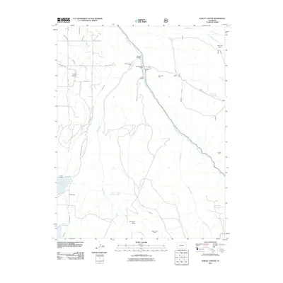
2011 Map of Gurley Canyon
USGS Topo · Published 2011About this map
The San Miguel River cuts a prominent path through this high-altitude landscape, where the legacy of hydraulic and placer mining is etched into the terrain. Mining history is centered around features like the Granger Placer Mine, Pekin Placer Mine, and the southern Sunup Mine, alongside the Beaver Perkin Placers. These sites illustrate the region's enduring connection to mineral extraction.
Find a feature on this map
40 named features on this map. Tap any name to fly to it.
Don’t see what you’re looking for? This feature index may not catch every label — zoom into the map to look around manually.
Map Details
Editions of this 2011 Gurley Canyon Map
This is the sole edition of this map. No revisions or reprints were ever made.
Other maps of this area

1953 · Placerville
USGS Topo · 1:24,000

1953 · Little Cone
USGS Topo · 1:24,000

1956 · Cortez
USGS Topo · 1:250,000

1956 · Moab
USGS Topo · 1:250,000

1958 · Cortez
USGS Topo · 1:250,000

1959 · Cortez
USGS Topo · 1:250,000

1959 · Moab
USGS Topo · 1:250,000

1960 · Moab
USGS Topo · 1:250,000

1962 · Moab
USGS Topo · 1:250,000

1962 · Cortez
USGS Topo · 1:250,000