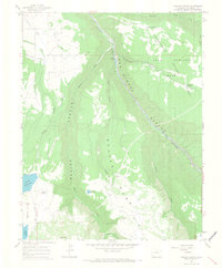
1964 Map of Gurley Canyon
USGS Topo · Published 1968About this map
The San Miguel River carves a deep path through this mid-1960s landscape, separating the high plateau of Iron Springs Mesa from the dramatic depths of Beaver Canyon. This corner of the Uncompahgre National Forest reveals a water-management system essential to the high-desert terrain, documented through numerous irrigation and storage features including the large Gurley Reservoir, McKeever Reservoir, and Cone Reservoir.
Find a feature on this map
26 named features on this map. Tap any name to fly to it.
Don’t see what you’re looking for? This feature index may not catch every label — zoom into the map to look around manually.
Map Details
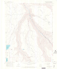
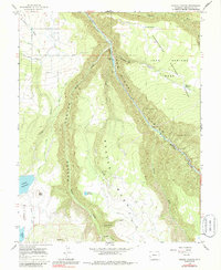
Editions of this 1964 Gurley Canyon Map
3 editions found
Other maps of this area

1953 · Placerville
USGS Topo · 1:24,000

1953 · Little Cone
USGS Topo · 1:24,000

1956 · Cortez
USGS Topo · 1:250,000

1956 · Moab
USGS Topo · 1:250,000

1958 · Cortez
USGS Topo · 1:250,000

1959 · Cortez
USGS Topo · 1:250,000

1959 · Moab
USGS Topo · 1:250,000

1960 · Moab
USGS Topo · 1:250,000

1962 · Moab
USGS Topo · 1:250,000

1962 · Cortez
USGS Topo · 1:250,000