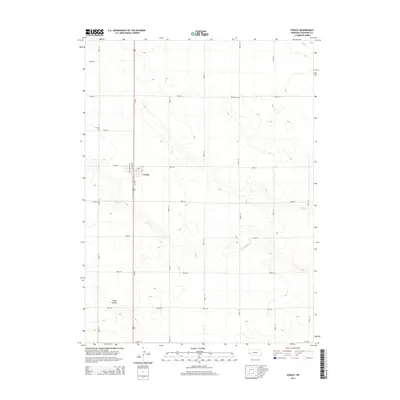
2014 Map of Gurley
USGS Topo · Published 2014About this map
Gurley serves as the central hub of this Cheyenne County landscape, situated along the primary north-south corridor of Us-385. The town's grid is defined by streets such as Washington St, Lincoln St, and 1st St, with a local Po located in the heart of the settlement. This 2014 survey illustrates the intersection of high plains agriculture and topography, where the land is carved by the winding course of Rush Cr as it moves southeast toward the more dramatic elevation changes of Cedar Canyon. The inclusion of the Babb Cem to the northeast provides a vital anchor for genealogists and local historians, sitting just off Road 50. The surrounding territory is segmented by an extensive network of rural routes, including Egging Rd, reflecting the enduring section-line organization of the Nebraska Panhandle.
Find a feature on this map
25 named features on this map. Tap any name to fly to it.
Don’t see what you’re looking for? This feature index may not catch every label — zoom into the map to look around manually.
Map Details
Editions of this 2014 Gurley Map
This is the sole edition of this map. No revisions or reprints were ever made.
Other maps of this area
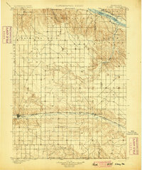
1899 · Sidney
USGS Topo · 1:125,000
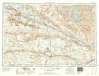
1954 · Scottsbluff
USGS Topo · 1:250,000
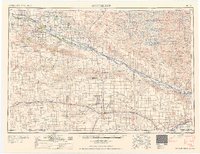
1958 · Scottsbluff
USGS Topo · 1:250,000
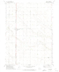
1972 · Gurley
USGS Topo · 1:24,000
1972 · Fairchild Ranch
USGS Topo · 1:24,000
1972 · Dalton
USGS Topo · 1:24,000
1972 · Brownson
USGS Topo · 1:24,000
1972 · Mud Springs SE
USGS Topo · 1:24,000
1972 · Sunol
USGS Topo · 1:24,000
1972 · Mud Springs
USGS Topo · 1:24,000