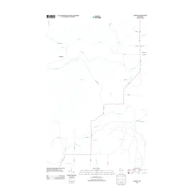
2013 Map of Gurney
USGS Topo · Published 2013About this map
Gurney and Sedgwick anchor this northern Wisconsin landscape, where a dense network of tributaries feeds into the major regional waterways. The Potato River winds through the center of the quadrangle, punctuated by the Potato River Falls near the intersection of Falls Rd and Wi-169. The terrain is defined by its complex hydrography, featuring numerous named creeks such as Vaughn Cr, Feldcher Cr, and Tyler Forks. A system of rural roads and fire lanes, including the Sullivan Fire Ln and Elm Hoist Rd, provides access through the timbered areas and lowlands. This survey illustrates the persistent rural character of Iron County, showing the intersection of local transportation routes like Cameron Rd and Vogues Rd with the natural drainage patterns that have shaped settlement and land use in this part of the Lake Superior watershed.
Find a feature on this map
30 named features on this map. Tap any name to fly to it.
Don’t see what you’re looking for? This feature index may not catch every label — zoom into the map to look around manually.
Map Details
Editions of this 2013 Gurney Map
This is the sole edition of this map. No revisions or reprints were ever made.
Other maps of this area

1940 · Upson
USGS Topo · 1:48,000

1942 · Mellen
USGS Topo · 1:48,000

1943 · Upson
USGS Topo · 1:48,000

1943 · Little Girl Point
USGS Topo · 1:48,000

1943 · Odanah
USGS Topo · 1:48,000

1945 · Odanah
USGS Topo · 1:48,000

1945 · Mellen
USGS Topo · 1:48,000

1953 · Ashland
USGS Topo · 1:250,000
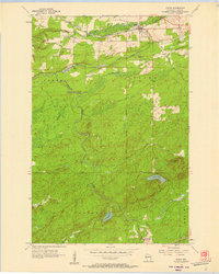
1956 · Saxon
USGS Topo · 1:24,000
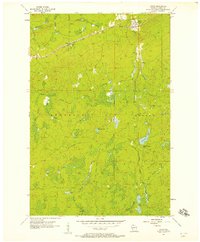
1956 · Upson
USGS Topo · 1:24,000