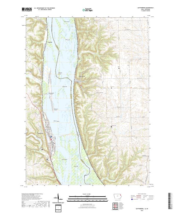
2022 Map of Guttenberg
USGS Topo · Published 2022About this map
Guttenberg sits on the western bank of the Mississippi River in Clayton County, Iowa, across the state line from the bluffs of Glen Haven in Grant County, Wisconsin. This landscape is defined by the braided channels and backwaters of the river, featuring a complex network of islands and sloughs such as Abel-Essman Island, Goetz Island, and Ferry Slough. The topography is particularly striking where the river valley meets the upland bluffs, notably at Walnut Bluff and the drainage of Miners Creek. Several rural burying grounds, including Mount Olivet Cemetery and Gockel Cemetery, are scattered across the higher ground on both sides of the river. The presence of the GAA Private Airport and local landmarks like Ackerman Cut illustrate the intersection of traditional river navigation and more modern transportation infrastructure in this river-valley corridor.
Find a feature on this map
99 named features on this map. Tap any name to fly to it.
Don’t see what you’re looking for? This feature index may not catch every label — zoom into the map to look around manually.
Map Details
Editions of this 2022 Guttenberg Map
This is the sole edition of this map. No revisions or reprints were ever made.
Other maps of this area

1900 · Lancaster
USGS Topo · 1:125,000

1902 · Elkader
USGS Topo · 1:125,000

1904 · Lancaster
USGS Topo · 1:125,000

1908 · Lancaster
USGS Topo · 1:125,000

1955 · Cassville
USGS Topo · 1:24,000

1957 · Turkey River
USGS Topo · 1:24,000

1957 · Colesburg
USGS Topo · 1:24,000

1959 · Dubuque
USGS Topo · 1:250,000

1961 · Dubuque
USGS Topo · 1:250,000

1962 · Dubuque
USGS Topo · 1:250,000