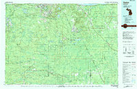
1983 Map of Gwinn
USGS Topo · Published 1983About this map
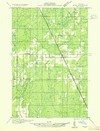
K I Sawyer Air Force Base stands as a central landmark in this 1980s landscape of the central Upper Peninsula, surrounded by the expansive Escanaba River State Forest. The map documents a region defined by its industrial heritage and military presence, where the iron mining towns of Ishpeming, Negaunee, and Republic remain prominent. Several specific mining operations are identified, including the Greenwood Mine, National Mine, and New Richmond Mine, reflecting the area's deep connection to the Marquette Iron Range.
Find a feature on this map
58 named features on this map. Tap any name to fly to it.
Don’t see what you’re looking for? This feature index may not catch every label — zoom into the map to look around manually.
Map Details
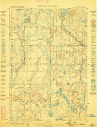
Editions of this 1983 Gwinn Map
2 editions found

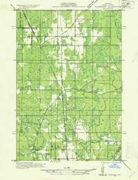
Other maps of this area

1899 · Sagola
USGS Topo · 1:62,500
1899 · Witbeck
USGS Topo · 1:62,500
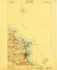
1907 · Marquette
USGS Topo · 1:62,500

1932 · Skandia SW
USGS Topo · 1:31,680
1932 · Gladstone NE
USGS Topo · 1:31,680
1932 · Rock SW
USGS Topo · 1:31,680

1932 · Helena NW
USGS Topo · 1:31,680
1932 · Trenary SW
USGS Topo · 1:31,680

1932 · Helena NE
USGS Topo · 1:31,680

1932 · Rock NE
USGS Topo · 1:31,680