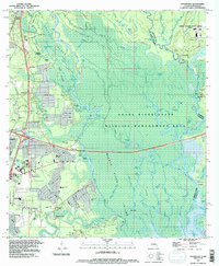
1993 Map of Haaswood
USGS Topo · Published 1995About this map
The labyrinthine wetlands of the Pearl River State Wildlife Management Area dominate this 1993 revision, capturing the transition from the densely forested bayous of the Pearl River delta to the expanding suburbs of Slidell. The map illustrates a landscape of complex waterways where the Middle River and West Pearl River fork around features like Goat Island and Maddens Island. This riparian environment is punctuated by long-established river landings such as Morgan Bluff and Davis Landing, which historically served as vital points of access before modern infrastructure arrived.
Find a feature on this map
94 named features on this map. Tap any name to fly to it.
Don’t see what you’re looking for? This feature index may not catch every label — zoom into the map to look around manually.
Map Details
Editions of this 1993 Haaswood Map
2 editions found
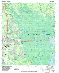
Other maps of this area

1892 · Chef Menteur
USGS Topo · 1:62,500

1893 · Rigolets
USGS Topo · 1:62,500

1914 · Nicholson
USGS Topo · 1:62,500

1921 · Nicholson
USGS Topo · 1:62,500

1935 · Slidell
USGS Topo · 1:62,500

1935 · English Lookout
USGS Topo · 1:31,680

1936 · North Shore
USGS Topo · 1:31,680

1936 · Chef Menteur
USGS Topo · 1:62,500

1936 · Rigolets
USGS Topo · 1:62,500

1939 · Slidell
USGS Topo · 1:62,500