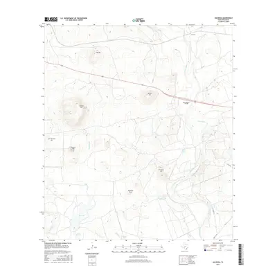
2016 Map of Hacienda
USGS Topo · Published 2016About this map
Hacienda and the surrounding brush country of Uvalde County are defined by the winding course of the Nueces River, which cuts through a landscape of distinctive limestone uplands and intermittent drainages. The topography is marked by several named elevations including Cantrell Mtn, Sulphur Mtn, and the prominent Nueces Hill. Hydrological features like Wood Slough and Turkey Cr snake across the terrain, feeding into the river system or terminating at local landmarks like Soldiers Camp Springs.
Find a feature on this map
24 named features on this map. Tap any name to fly to it.
Don’t see what you’re looking for? This feature index may not catch every label — zoom into the map to look around manually.
Map Details
Editions of this 2016 Hacienda Map
This is the sole edition of this map. No revisions or reprints were ever made.
Other maps of this area

1896 · Brackett
USGS Topo · 1:125,000

1897 · Brackett
USGS Topo · 1:125,000

1898 · Uvalde
USGS Topo · 1:125,000

1899 · Uvalde
USGS Topo · 1:125,000

1938 · Turkey Mountain
USGS Topo · 1:48,000

1943 · Turkey Mountain
USGS Topo · 1:62,500

1949 · Cline
USGS Topo · 1:62,500

1954 · San Antonio
USGS Topo · 1:250,000

1957 · San Antonio
USGS Topo · 1:250,000

1958 · Del Rio
USGS Topo · 1:250,000