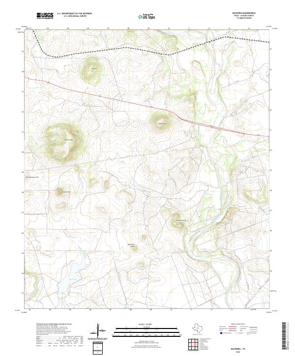
2022 Map of Hacienda
USGS Topo · Published 2022About this map
The Nueces River winds through this South Texas landscape, creating a distinct hydrological environment characterized by ephemeral water sources and significant topographical relief. High points such as Obi Hill, Cantrell Mtn, and Nueces Hill provide overlooks across a terrain shaped by drainage patterns like Wood Slough and Turkey Cr. The presence of Soldiers Camp Springs suggests a historical reliance on reliable water points in an area otherwise defined by ranching infrastructure, evidenced by features like Big Tank, Skiffa Tank, and Little Big Tank.
Find a feature on this map
21 named features on this map. Tap any name to fly to it.
Don’t see what you’re looking for? This feature index may not catch every label — zoom into the map to look around manually.
Map Details
Editions of this 2022 Hacienda Map
This is the sole edition of this map. No revisions or reprints were ever made.
Other maps of this area

1896 · Brackett
USGS Topo · 1:125,000

1897 · Brackett
USGS Topo · 1:125,000

1898 · Uvalde
USGS Topo · 1:125,000

1899 · Uvalde
USGS Topo · 1:125,000

1938 · Turkey Mountain
USGS Topo · 1:48,000

1943 · Turkey Mountain
USGS Topo · 1:62,500

1949 · Cline
USGS Topo · 1:62,500

1954 · San Antonio
USGS Topo · 1:250,000

1957 · San Antonio
USGS Topo · 1:250,000

1958 · Del Rio
USGS Topo · 1:250,000