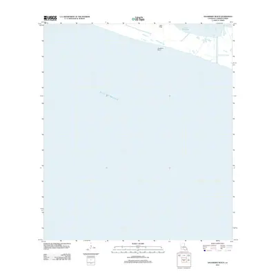
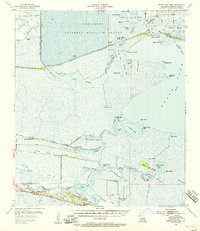
2012 Map of Hackberry Beach
USGS Topo · Published 2012About this map
Hackberry Beach sits on the thin coastal margin of Cameron Parish where the Louisiana landmass meets the open waters of the Gulf of Mexico. This 2012 survey reveals a landscape dominated by the dynamics of the gulf, showing the narrow strips of higher ground such as Dans Ridge that provide slight elevation above the surrounding marshy environment. To the north, the transition from saline to brackish waters is marked by Lower Mud Lake, illustrating the complex coastal hydrology of the region. The map primarily documents the precarious interface between sea and shore, where low-lying ridges and coastal lakes form a delicate barrier against the tides.
Find a feature on this map
4 named features on this map. Tap any name to fly to it.
Don’t see what you’re looking for? This feature index may not catch every label — zoom into the map to look around manually.
Map Details
Editions of this 2012 Hackberry Beach Map
This is the sole edition of this map. No revisions or reprints were ever made.
Other maps of this area

1934 · Grand Bayou
USGS Topo · 1:24,000

1935 · Grand Bayou
USGS Topo · 1:31,680

1935 · Bay Labauve
USGS Topo · 1:31,680

1935 · Grand Chenier
USGS Topo · 1:31,680

1946 · Hog Bayou NW
USGS Topo · 1:31,680
1949 · Hog Bayou NW
USGS Topo · 1:31,680

1954 · Port Arthur
USGS Topo · 1:250,000
1955 · Sweet Lake
USGS Topo · 1:62,500
1955 · Hog Bayou
USGS Topo · 1:62,500
1955 · Grand Lake West
USGS Topo · 1:62,500