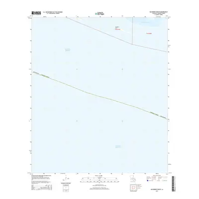
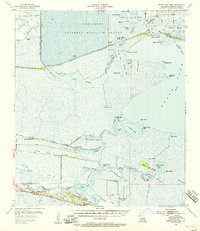
2015 Map of Hackberry Beach
USGS Topo · Published 2015About this map
Hackberry Beach sits along the slender shoreline of southern Cameron Parish, a narrow strip of land separating the brackish reaches of Lower Mud Lake from the open Gulf of Mexico. This 2015 study by the U.S. Geological Survey illustrates the vulnerable coastal geography of the Chenier Plain, where land is defined by thin ridges and expanding water bodies. The map is largely dominated by the marine environment, showing the maritime boundaries and the transition from the parish coastline into the gulf. It serves as a modern baseline for the shifting sands and wetlands in a region where the gulf's encroachment constantly reshapes the local topography and historical shoreline.
Find a feature on this map
8 named features on this map. Tap any name to fly to it.
Don’t see what you’re looking for? This feature index may not catch every label — zoom into the map to look around manually.
Map Details
Editions of this 2015 Hackberry Beach Map
This is the sole edition of this map. No revisions or reprints were ever made.
Other maps of this area

1934 · Grand Bayou
USGS Topo · 1:24,000

1935 · Grand Bayou
USGS Topo · 1:31,680

1935 · Bay Labauve
USGS Topo · 1:31,680

1935 · Grand Chenier
USGS Topo · 1:31,680

1946 · Hog Bayou NW
USGS Topo · 1:31,680
1949 · Hog Bayou NW
USGS Topo · 1:31,680

1954 · Port Arthur
USGS Topo · 1:250,000
1955 · Sweet Lake
USGS Topo · 1:62,500
1955 · Hog Bayou
USGS Topo · 1:62,500
1955 · Grand Lake West
USGS Topo · 1:62,500