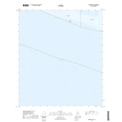
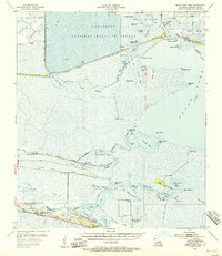
2018 Map of Hackberry Beach
USGS Topo · Published 2018About this map
Hackberry Beach fronts the northern shoreline of the Gulf of Mexico in this coastal Cameron Parish survey. The landscape is defined by the thin strip of beach terrain that separates the open Gulf from a network of inland wetlands and tidal waters. Just behind the shoreline, the map identifies Lower Mud Lake and the mouth of Kings Bayou, illustrating the dynamic interface between the marsh and the sea. The area is marked by its isolation, showing primarily natural features and the systematic division of public land townships, including t15s r7w and t15s r6w. This survey provides a modern record of this vulnerable stretch of the Louisiana coast before ongoing coastal erosion and shifting silt deposits further alter the shoreline.
Find a feature on this map
6 named features on this map. Tap any name to fly to it.
Don’t see what you’re looking for? This feature index may not catch every label — zoom into the map to look around manually.
Map Details
Editions of this 2018 Hackberry Beach Map
This is the sole edition of this map. No revisions or reprints were ever made.
Other maps of this area

1934 · Grand Bayou
USGS Topo · 1:24,000

1935 · Grand Bayou
USGS Topo · 1:31,680

1935 · Bay Labauve
USGS Topo · 1:31,680

1935 · Grand Chenier
USGS Topo · 1:31,680

1946 · Hog Bayou NW
USGS Topo · 1:31,680
1949 · Hog Bayou NW
USGS Topo · 1:31,680

1954 · Port Arthur
USGS Topo · 1:250,000
1955 · Sweet Lake
USGS Topo · 1:62,500
1955 · Hog Bayou
USGS Topo · 1:62,500
1955 · Grand Lake West
USGS Topo · 1:62,500