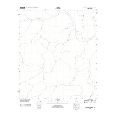
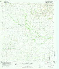
2010 Map of Hackberry Crossing
USGS Topo · Published 2010About this map
Hackberry Crossing serves as the focal point for this arid Val Verde County landscape, where the deeply incised Pecos River snakes through the high desert of West Texas. The geography is defined by an intricate network of drainage systems, most notably the expansive Big Hackberry Canyon and its smaller counterpart, Little Hackberry Canyon. These features illustrate the erosion patterns characteristic of the Trans-Pecos region, with numerous named topographical features such as Tanislado Canyon and House Canyon feeding into the river valley. Sparse transportation routes like Pumpville Rd and Felder Draw Rd navigate the plateaus between deep cuts like Big Fielder Draw, showing the isolation and rugged utility of the land in the early 21st century.
Find a feature on this map
12 named features on this map. Tap any name to fly to it.
Don’t see what you’re looking for? This feature index may not catch every label — zoom into the map to look around manually.
Map Details
Editions of this 2010 Hackberry Crossing Map
This is the sole edition of this map. No revisions or reprints were ever made.
Other maps of this area

1954 · Sonora
USGS Topo · 1:250,000

1958 · Sonora
USGS Topo · 1:250,000
1970 · Antone Canyon
USGS Topo · 1:24,000
1970 · Pandale
USGS Topo · 1:24,000
1970 · Little Fielder Draw
USGS Topo · 1:24,000
1973 · Post Canyon
USGS Topo · 1:24,000
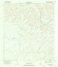
1973 · Hackberry Crossing
USGS Topo · 1:24,000
1980 · Geddis Canyon East
USGS Topo · 1:24,000
1980 · Roundhill Ranch
USGS Topo · 1:24,000
1980 · Meyers Canyon NE
USGS Topo · 1:24,000