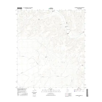
2016 Map of Hackberry Crossing
USGS Topo · Published 2016About this map
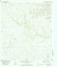
Pecos River serves as the dominant geographic feature of this Val Verde County landscape, carving through a series of steep drainages including Big Hackberry Canyon and Little Hackberry Canyon. The local transport network is defined by unpaved corridors such as Pumpville Rd and Fielder Draw Rd, reflecting the ranching and livestock movement patterns of west Texas. The namesake Hackberry Crossing provides a focal point along the river, marking a traditional point of transit in a region otherwise segmented by deep canyons like Tanislado Canyon and House Canyon.
Find a feature on this map
14 named features on this map. Tap any name to fly to it.
Don’t see what you’re looking for? This feature index may not catch every label — zoom into the map to look around manually.
Map Details
Editions of this 2016 Hackberry Crossing Map
This is the sole edition of this map. No revisions or reprints were ever made.
Other maps of this area

1954 · Sonora
USGS Topo · 1:250,000

1958 · Sonora
USGS Topo · 1:250,000

1970 · Antone Canyon
USGS Topo · 1:24,000

1970 · Pandale
USGS Topo · 1:24,000

1970 · Little Fielder Draw
USGS Topo · 1:24,000

1973 · Post Canyon
USGS Topo · 1:24,000
1973 · Hackberry Crossing
USGS Topo · 1:24,000
1980 · Geddis Canyon East
USGS Topo · 1:24,000
1980 · Roundhill Ranch
USGS Topo · 1:24,000
1980 · Meyers Canyon NE
USGS Topo · 1:24,000