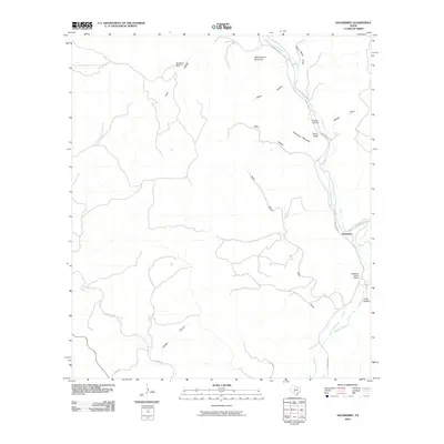
2010 Map of Hackberry
USGS Topo · Published 2010About this map
Hackberry Creek and the upper reaches of the Nueces River carve through this Edwards County landscape, defining the local topography and settlement patterns. The map highlights the small community of Hackberry, where Ranch Rd 335 serves as the primary corridor through the valley. This 2010 survey reflects a rural Texas environment where landmarks are often tied to family names and the natural relief, such as Schoolhouse Mountain and Graveyard Mountain.
Find a feature on this map
22 named features on this map. Tap any name to fly to it.
Don’t see what you’re looking for? This feature index may not catch every label — zoom into the map to look around manually.
Map Details
Editions of this 2010 Hackberry Map
This is the sole edition of this map. No revisions or reprints were ever made.
Other maps of this area

1893 · Rock Springs
USGS Topo · 1:125,000

1893 · Nueces
USGS Topo · 1:125,000

1896 · Nueces
USGS Topo · 1:125,000

1947 · Hackberry
USGS Topo · 1:62,500

1954 · Llano
USGS Topo · 1:250,000

1954 · San Antonio
USGS Topo · 1:250,000

1954 · Sonora
USGS Topo · 1:250,000

1955 · Llano
USGS Topo · 1:250,000

1956 · Llano
USGS Topo · 1:250,000

1957 · San Antonio
USGS Topo · 1:250,000