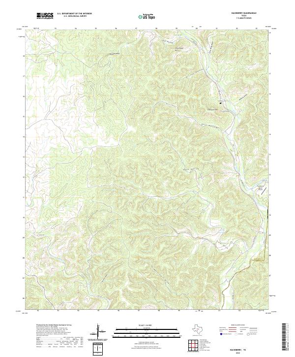
2022 Map of Hackberry
USGS Topo · Published 2022About this map
Schoolhouse Mtn and Graveyard Mtn anchor this central Texas landscape, where the plateau is deeply incised by a dense network of canyons and draws. The water systems of Hackberry Cr and the Nueces River serve as the primary geographical arteries, supplemented by vital water sources like Cade Spring and McCurdy Springs. This 2022 survey captures a remote ranching environment defined by its topographic relief and naming conventions that reflect early land use, such as Beef Hollow and Mail Trail Draw.
Find a feature on this map
29 named features on this map. Tap any name to fly to it.
Don’t see what you’re looking for? This feature index may not catch every label — zoom into the map to look around manually.
Map Details
Editions of this 2022 Hackberry Map
This is the sole edition of this map. No revisions or reprints were ever made.
Other maps of this area

1893 · Rock Springs
USGS Topo · 1:125,000

1893 · Nueces
USGS Topo · 1:125,000

1896 · Nueces
USGS Topo · 1:125,000

1947 · Hackberry
USGS Topo · 1:62,500

1954 · Llano
USGS Topo · 1:250,000

1954 · San Antonio
USGS Topo · 1:250,000

1954 · Sonora
USGS Topo · 1:250,000

1955 · Llano
USGS Topo · 1:250,000

1956 · Llano
USGS Topo · 1:250,000

1957 · San Antonio
USGS Topo · 1:250,000