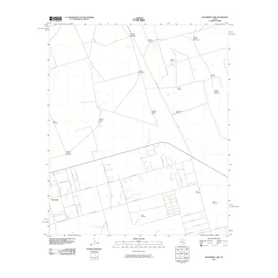
2010 Map of Hackberry Lake
USGS Topo · Published 2010About this map
Gardendale sits at the southern edge of this West Texas landscape, where a regular grid of residential streets like E Marigold St and E Cottonwood Rd meets the open rangeland. The area is defined by its extensive water-pumping infrastructure, marked by a high concentration of numbered and named windmills necessary for life and livestock in this arid region.
Find a feature on this map
38 named features on this map. Tap any name to fly to it.
Don’t see what you’re looking for? This feature index may not catch every label — zoom into the map to look around manually.
Map Details
Editions of this 2010 Hackberry Lake Map
This is the sole edition of this map. No revisions or reprints were ever made.
Other maps of this area

1954 · Hobbs
USGS Topo · 1:250,000

1954 · Pecos
USGS Topo · 1:250,000

1957 · Pecos
USGS Topo · 1:250,000

1958 · Hobbs
USGS Topo · 1:250,000

1964 · Odessa NE
USGS Topo · 1:24,000

1964 · Odessa NW
USGS Topo · 1:24,000

1965 · Southwest Midland
USGS Topo · 1:24,000

1966 · Mabee Ranch
USGS Topo · 1:24,000

1966 · Northwest Midland
USGS Topo · 1:24,000

1968 · Baird Lake
USGS Topo · 1:24,000