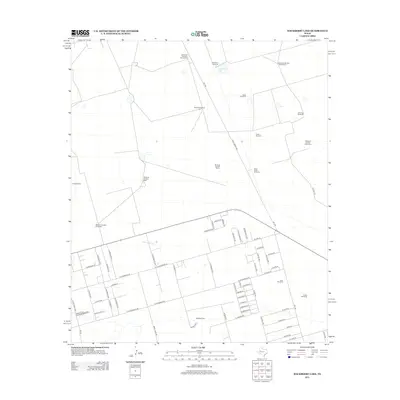
2012 Map of Hackberry Lake
USGS Topo · Published 2012About this map
Hackberry Lake provides a central reference point in this Ector County landscape, which by 2012 shows a distinct transition from open range to organized rural subdivision. The northern half of the territory is defined by a sparse network of numbered and named water sources, including Windmill Number Twentytwo, the Thomas Windmill, and South Camp Windmill. These features indicate the persistent ranching heritage of the Permian Basin even as residential expansion moves north from Gardendale.
Find a feature on this map
74 named features on this map. Tap any name to fly to it.
Don’t see what you’re looking for? This feature index may not catch every label — zoom into the map to look around manually.
Map Details
Editions of this 2012 Hackberry Lake Map
This is the sole edition of this map. No revisions or reprints were ever made.
Other maps of this area

1954 · Hobbs
USGS Topo · 1:250,000

1954 · Pecos
USGS Topo · 1:250,000

1957 · Pecos
USGS Topo · 1:250,000

1958 · Hobbs
USGS Topo · 1:250,000

1964 · Odessa NE
USGS Topo · 1:24,000

1964 · Odessa NW
USGS Topo · 1:24,000

1965 · Southwest Midland
USGS Topo · 1:24,000

1966 · Mabee Ranch
USGS Topo · 1:24,000

1966 · Northwest Midland
USGS Topo · 1:24,000

1968 · Baird Lake
USGS Topo · 1:24,000