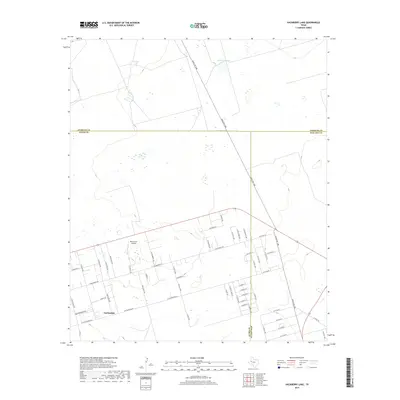
2019 Map of Hackberry Lake
USGS Topo · Published 2019About this map
Gardendale marks the primary residential area of this West Texas landscape, where a grid of local roads meets the open terrain of the Permian Basin. The map captures a moment of modern rural development, with neighborhood streets like E Goldenrod Dr and Browder Rd transitioning into the broader ranchlands. This junction of Ector, Midland, and Andrews counties is characterized by its wide-open topography and essential infrastructure, notably the Wood Farm Airfield located just north of the main settlement. The presence of Hackberry Lake to the north provides a rare hydrological landmark in an area otherwise defined by its expansive dry plains. Transport across the region is anchored by Ranch Rd 1788, which carves a diagonal path through the tri-county boundary area, connecting local residents to the larger Texas highway network.
Find a feature on this map
57 named features on this map. Tap any name to fly to it.
Don’t see what you’re looking for? This feature index may not catch every label — zoom into the map to look around manually.
Map Details
Editions of this 2019 Hackberry Lake Map
This is the sole edition of this map. No revisions or reprints were ever made.
Other maps of this area

1954 · Hobbs
USGS Topo · 1:250,000

1954 · Pecos
USGS Topo · 1:250,000

1957 · Pecos
USGS Topo · 1:250,000

1958 · Hobbs
USGS Topo · 1:250,000

1964 · Odessa NE
USGS Topo · 1:24,000

1964 · Odessa NW
USGS Topo · 1:24,000

1965 · Southwest Midland
USGS Topo · 1:24,000

1966 · Mabee Ranch
USGS Topo · 1:24,000

1966 · Northwest Midland
USGS Topo · 1:24,000

1968 · Baird Lake
USGS Topo · 1:24,000