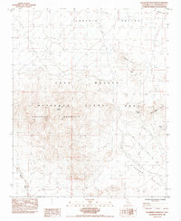
1984 Map of Hackberry Mountain
USGS Topo · Published 1984About this map
Hackberry Mountain dominates the central landscape of this Mojave Desert region, surrounded by a complex network of dry washes and high-altitude valleys. The map documents a rugged interior within the East Mojave National Scenic Area, where water is a rare but critical resource at sites like Hackberry Spring and Vontrigger Spring. This 1984 provisional survey reveals the remnant infrastructure of the early West, most notably the historic Old Government Road cutting through the northern reaches of Lanfair Valley. Mining interests are evident in the eastern and northern hills, where the True Blue Mine and California Mine mark attempts to extract wealth from the desert rock. The transition from the high Bobcat Hills down into the broad sweep of Fenner Valley highlights the traditional transport corridors and resource hubs that sustained travel through this arid California backcountry.
Find a feature on this map
12 named features on this map. Tap any name to fly to it.
Don’t see what you’re looking for? This feature index may not catch every label — zoom into the map to look around manually.
Map Details
Editions of this 1984 Hackberry Mountain Map
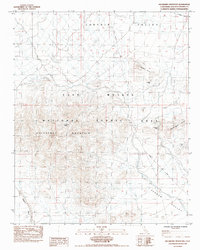
2 editions found
Other maps of this area

1910 · Ivanpah
USGS Topo · 1:250,000

1912 · Ivanpah
USGS Topo · 1:250,000

1942 · Ivanpah
USGS Topo · 1:250,000

1942 · Amboy
USGS Topo · 1:250,000

1943 · Amboy
USGS Topo · 1:250,000

1943 · Fenner
USGS Topo · 1:62,500

1947 · Kingman
USGS Topo · 1:250,000

1948 · Kingman
USGS Topo · 1:250,000

1954 · Needles
USGS Topo · 1:250,000

1954 · Kingman
USGS Topo · 1:250,000