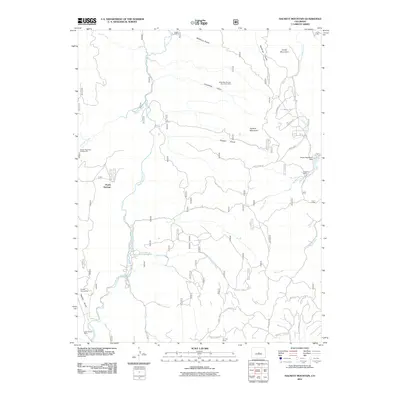
2011 Map of Hackett Mountain
USGS Topo · Published 2011About this map
Platte Springs and the winding course of the South Platte River define this high-altitude landscape in the early 21st century. The map reveals a history of resource extraction, dotted with historic claims such as the Hilda May Number One Claim Mine and the Two Bit Claims Mine. This network of mineral interests is integrated into a modern recreational geography, where landmarks like Wildhorn Ranch and the Hoder Recreation Dam sit near the rugged peaks of Hackett Mountain and Cedar Mountain.
Find a feature on this map
42 named features on this map. Tap any name to fly to it.
Don’t see what you’re looking for? This feature index may not catch every label — zoom into the map to look around manually.
Map Details
Editions of this 2011 Hackett Mountain Map
This is the sole edition of this map. No revisions or reprints were ever made.
Other maps of this area

1893 · Platte Canyon
USGS Topo · 1:125,000

1894 · Pikes Peak
USGS Topo · 1:125,000

1901 · Pikes Peak
USGS Topo · 1:125,000

1901 · Pikes Peak
USGS Topo · 1:62,500

1953 · Denver
USGS Topo · 1:250,000

1954 · Signal Butte
USGS Topo · 1:24,000

1954 · Divide
USGS Topo · 1:24,000

1954 · Pueblo
USGS Topo · 1:250,000

1956 · Mc Curdy Mountain
USGS Topo · 1:24,000

1956 · Tarryall
USGS Topo · 1:24,000