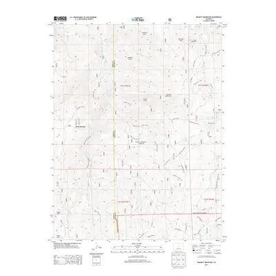
2013 Map of Hackett Mountain
USGS Topo · Published 2013About this map
Platte Springs and the winding course of the South Platte River define this high-altitude landscape along the border of Park and Teller Counties. The 2013 survey shows a region deeply integrated into the Pike National Forest, where the terrain is marked by prominent peaks such as Hackett Mountain and Cedar Mountain. Human presence is largely defined by recreational and agricultural footprints, including Wildhorn Ranch and Custer Cabins, connected by a network of forest roads and trails. The map documents an intricate drainage system including Metberry Gulch and Longwater Gulch, which feed into the primary river valley. Notable infrastructure like the Hoder Recreation Reservoir and various named routes such as the Ridge Trail 734 and Platte Springs Trail 626 illustrate the modern use of this mountain territory for public access and conservation.
Find a feature on this map
58 named features on this map. Tap any name to fly to it.
Don’t see what you’re looking for? This feature index may not catch every label — zoom into the map to look around manually.
Map Details
Editions of this 2013 Hackett Mountain Map
This is the sole edition of this map. No revisions or reprints were ever made.
Other maps of this area

1893 · Platte Canyon
USGS Topo · 1:125,000

1894 · Pikes Peak
USGS Topo · 1:125,000

1901 · Pikes Peak
USGS Topo · 1:125,000

1901 · Pikes Peak
USGS Topo · 1:62,500

1953 · Denver
USGS Topo · 1:250,000

1954 · Signal Butte
USGS Topo · 1:24,000

1954 · Divide
USGS Topo · 1:24,000

1954 · Pueblo
USGS Topo · 1:250,000

1956 · Mc Curdy Mountain
USGS Topo · 1:24,000

1956 · Tarryall
USGS Topo · 1:24,000