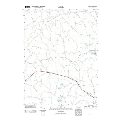
2010 Map of Hackett
USGS Topo · Published 2010About this map
The rolling hills of Washington County are defined by a complex hydraulic and industrial infrastructure in this early 21st-century record. The landscape is carved by the North Branch Pigeon Creek and Mingo Creek, with numerous water management features like the Bentleyville Reservoir and industrial sites such as the Mine Number Sixty Reservoir. The mapping of several dams, including the Steel Dam and Bentleyville Dam, reflects the region's long-standing relationship with coal mining and water storage.
Find a feature on this map
94 named features on this map. Tap any name to fly to it.
Don’t see what you’re looking for? This feature index may not catch every label — zoom into the map to look around manually.
Map Details
Editions of this 2010 Hackett Map
This is the sole edition of this map. No revisions or reprints were ever made.
Other maps of this area

1901 · Amity
USGS Topo · 1:62,500

1902 · Brownsville
USGS Topo · 1:62,500

1904 · Amity
USGS Topo · 1:62,500

1904 · Mc Keesport
USGS Topo · 1:62,500

1904 · Carnegie
USGS Topo · 1:62,500

1906 · Brownsville
USGS Topo · 1:62,500

1906 · Carnegie
USGS Topo · 1:62,500

1907 · Pittsburg
USGS Topo · 1:62,500

1908 · Carnegie
USGS Topo · 1:62,500

1931 · Brownsville
USGS Topo · 1:62,500
Featured Places
- Bentleyville, PA
- North Strabane Township, PA
- Thomas, Nottingham Township
- Munntown, Nottingham Township
- Kammerer, Nottingham Township