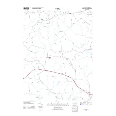
2013 Map of Hackett
USGS Topo · Published 2013About this map
Thomas Tunnel and the surrounding hills of Washington County define the landscape of this 2013 survey. The area is marked by a network of small, scattered settlements including Thomas, Venetia, and Munntown, connected by winding roads that follow the ridges and valleys carved by Peters Cr and Mingo Cr. This period shows a unique mix of rural history and small-scale aviation, with both Finleyville Airpark and Bandel Airport serving the region.
Find a feature on this map
166 named features on this map. Tap any name to fly to it.
Don’t see what you’re looking for? This feature index may not catch every label — zoom into the map to look around manually.
Map Details
Editions of this 2013 Hackett Map
This is the sole edition of this map. No revisions or reprints were ever made.
Other maps of this area

1901 · Amity
USGS Topo · 1:62,500

1902 · Brownsville
USGS Topo · 1:62,500

1904 · Amity
USGS Topo · 1:62,500

1904 · Mc Keesport
USGS Topo · 1:62,500

1904 · Carnegie
USGS Topo · 1:62,500

1906 · Brownsville
USGS Topo · 1:62,500

1906 · Carnegie
USGS Topo · 1:62,500

1907 · Pittsburg
USGS Topo · 1:62,500

1908 · Carnegie
USGS Topo · 1:62,500

1931 · Brownsville
USGS Topo · 1:62,500
Featured Places
- Bentleyville, PA
- North Strabane Township, PA
- Thomas, Nottingham Township
- Munntown, Nottingham Township
- Kammerer, Nottingham Township