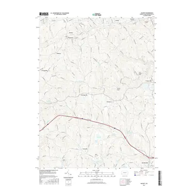
2016 Map of Hackett
USGS Topo · Published 2016About this map
Bentleyville and the surrounding Washington County countryside are defined by a complex network of creeks and early industrial infrastructure. The landscape is bisected by the Mingo Cr and Pigeon Cr drainage systems, where local history remains visible through preserved crossings like the Henry Covered Bridge and the Ebenezer Covered Bridge. These landmarks stand alongside evidence of the region's mining and transportation history, including the Thomas Tunnel and the specifically named Mine Number Sixty Reservoir. Small rural settlements such as Munntown, Gilkeson, and Vanceville are scattered across the terrain, often anchored by community sites like the Munntown Cem or the Pigeon Creek Cem. The transition from agrarian roots to modern utility is evidenced by the presence of local aviation facilities like the Bandel Airport and the Finleyville Airpark near the northern border.
Find a feature on this map
131 named features on this map. Tap any name to fly to it.
Don’t see what you’re looking for? This feature index may not catch every label — zoom into the map to look around manually.
Map Details
Editions of this 2016 Hackett Map
This is the sole edition of this map. No revisions or reprints were ever made.
Other maps of this area

1901 · Amity
USGS Topo · 1:62,500

1902 · Brownsville
USGS Topo · 1:62,500

1904 · Amity
USGS Topo · 1:62,500

1904 · Mc Keesport
USGS Topo · 1:62,500

1904 · Carnegie
USGS Topo · 1:62,500

1906 · Brownsville
USGS Topo · 1:62,500

1906 · Carnegie
USGS Topo · 1:62,500

1907 · Pittsburg
USGS Topo · 1:62,500

1908 · Carnegie
USGS Topo · 1:62,500

1931 · Brownsville
USGS Topo · 1:62,500
Featured Places
- Bentleyville, PA
- North Strabane Township, PA
- Thomas, Nottingham Township
- Munntown, Nottingham Township
- Kammerer, Nottingham Township