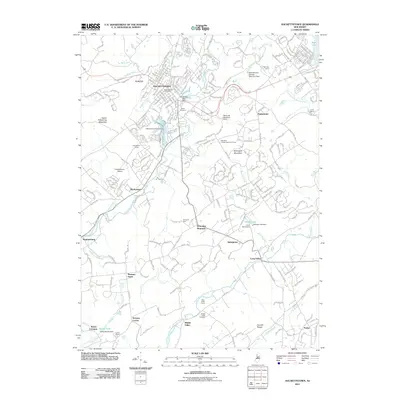
2011 Map of Hackettstown
USGS Topo · Published 2011About this map
Hackettstown serves as a central hub in this Morris County landscape, where the Musconetcong River and its various tributaries carve through the valley floors. The presence of the Hackettstown Fish Hatchery and Hackettstown Post Office highlights the town’s established infrastructure, while the surrounding area is defined by a mix of agricultural and institutional uses. Farm life is well-documented through named sites such as Donaldson Farms and Blue Crest Farms, while the spiritual and recreational character of the region is evident in landmarks like Union Cemetery, Camp Washington, and the New York Catholic Summer Camp.
Find a feature on this map
247 named features on this map. Tap any name to fly to it.
Don’t see what you’re looking for? This feature index may not catch every label — zoom into the map to look around manually.
Map Details
Editions of this 2011 Hackettstown Map
This is the sole edition of this map. No revisions or reprints were ever made.
Other maps of this area

1888 · Hackettstown
USGS Topo · 1:62,500

1888 · Lake Hopatcong
USGS Topo · 1:62,500

1890 · High Bridge
USGS Topo · 1:62,500

1891 · Somerville
USGS Topo · 1:62,500
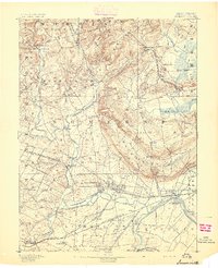
1893 · Somerville
USGS Topo · 1:62,500

1894 · Hackettstown
USGS Topo · 1:62,500

1894 · Lake Hopatcong
USGS Topo · 1:62,500

1898 · Lake Hopatcong
USGS Topo · 1:62,500
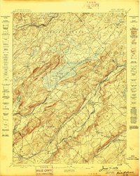
1898 · Hackettstown
USGS Topo · 1:62,500
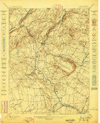
1898 · High Bridge
USGS Topo · 1:62,500
Featured Places
- Mount Olive, NJ
- Hackettstown, NJ
- Long Valley, Washington Township
- Washington Township, NJ
- Lebanon Township, NJ