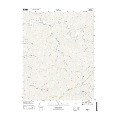
2016 Map of Haddix
USGS Topo · Published 2016About this map
Lost Creek meanders through the heart of this Breathitt County landscape, where narrow valleys and steep ridges dictate the placement of small communities like Haddix, Clayhole, and Hardshell. The terrain is characterized by numerous hollows and gaps, including Broadtree Hollow and Hickory Gap, which have historically shaped the local road network and settlement patterns. Many of these roads, such as Marie Roberts Rd and Dave Godsey Dr, follow the natural contours of the drainages, reflecting the region's traditional reliance on valley floors for transportation and housing.
Find a feature on this map
63 named features on this map. Tap any name to fly to it.
Don’t see what you’re looking for? This feature index may not catch every label — zoom into the map to look around manually.
Map Details
Editions of this 2016 Haddix Map
This is the sole edition of this map. No revisions or reprints were ever made.
Other maps of this area

1889 · Salyersville
USGS Topo · 1:125,000

1891 · Hazard
USGS Topo · 1:125,000

1891 · Salyersville
USGS Topo · 1:125,000

1899 · Salyersville
USGS Topo · 1:125,000

1913 · Buckhorn
USGS Topo · 1:62,500

1914 · Troublesome
USGS Topo · 1:62,500

1951 · Guage
USGS Topo · 1:24,000

1951 · Quicksand
USGS Topo · 1:24,000

1951 · Jackson
USGS Topo · 1:24,000

1953 · Buckhorn
USGS Topo · 1:24,000