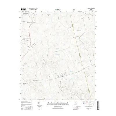
2014 Map of Haddock
USGS Topo · Published 2014About this map
Haddock sits at the center of this Georgia landscape, positioned where local routes like Ga-22 intersect. The terrain is defined by a dense network of waterways, including Fishing Creek and the Pumphouse Branch. To the north, the Oconee National Forest covers a significant portion of the area near Blountsville, while the eastern boundary follows the Jones and Baldwin County line.
Find a feature on this map
77 named features on this map. Tap any name to fly to it.
Don’t see what you’re looking for? This feature index may not catch every label — zoom into the map to look around manually.
Map Details
Editions of this 2014 Haddock Map
This is the sole edition of this map. No revisions or reprints were ever made.
Other maps of this area

1953 · Athens
USGS Topo · 1:250,000

1956 · Gordon
USGS Topo · 1:62,500

1956 · Macon
USGS Topo · 1:62,500

1957 · Macon
USGS Topo · 1:250,000

1958 · Macon
USGS Topo · 1:250,000

1958 · Athens
USGS Topo · 1:250,000

1959 · Athens
USGS Topo · 1:250,000

1963 · Athens
USGS Topo · 1:250,000

1964 · Macon
USGS Topo · 1:250,000

1964 · Gray
USGS Topo · 1:24,000