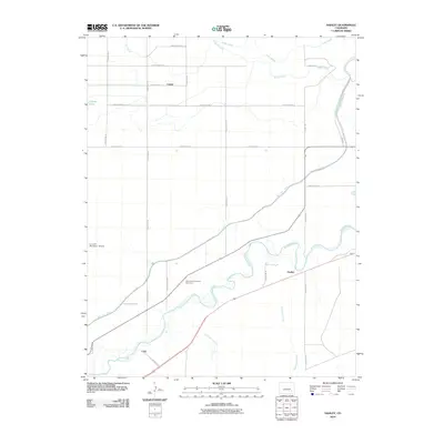
2010 Map of Hadley
USGS Topo · Published 2010About this map
The Arkansas River carves a winding path through this Otero County landscape, where agricultural infrastructure and small settlements define the rural character. Small community nodes like Hadley, Castiel, and Casa are connected by an extensive grid of county roads, reflecting the organized settlement patterns of the High Plains. The map highlights the critical role of water management in this arid region, showing the complex network of irrigation features including the Fort Lyon Canal, the Lewis Lateral, and various arroyos such as Vandiver Arroyo.
Find a feature on this map
28 named features on this map. Tap any name to fly to it.
Don’t see what you’re looking for? This feature index may not catch every label — zoom into the map to look around manually.
Map Details
Editions of this 2010 Hadley Map
This is the sole edition of this map. No revisions or reprints were ever made.
Other maps of this area

1891 · Catlin
USGS Topo · 1:125,000

1891 · Higbee
USGS Topo · 1:125,000

1891 · Las Animas
USGS Topo · 1:125,000

1891 · Timpas
USGS Topo · 1:125,000

1893 · Higbee
USGS Topo · 1:125,000

1893 · Las Animas
USGS Topo · 1:125,000

1893 · Catlin
USGS Topo · 1:125,000

1894 · Timpas
USGS Topo · 1:125,000

1953 · Cheraw
USGS Topo · 1:24,000

1953 · Cornelia
USGS Topo · 1:24,000