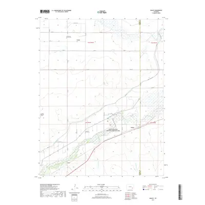
2019 Map of Hadley
USGS Topo · Published 2019About this map
Bent's Old Fort National Historic Site sits prominently along the north bank of the Arkansas River, marking a location of immense significance in the history of the American West. This landscape in southeastern Colorado is defined by the managed flow of water through an arid environment, where the Fort Lyon Canal and Lewis Lateral trace the contours of the land above the river valley. The map documents small settlements and rural focal points such as Hadley, Castiel, and Casa, which are connected by a grid of county roads.
Find a feature on this map
37 named features on this map. Tap any name to fly to it.
Don’t see what you’re looking for? This feature index may not catch every label — zoom into the map to look around manually.
Map Details
Editions of this 2019 Hadley Map
This is the sole edition of this map. No revisions or reprints were ever made.
Other maps of this area

1891 · Catlin
USGS Topo · 1:125,000

1891 · Higbee
USGS Topo · 1:125,000

1891 · Las Animas
USGS Topo · 1:125,000

1891 · Timpas
USGS Topo · 1:125,000

1893 · Higbee
USGS Topo · 1:125,000

1893 · Las Animas
USGS Topo · 1:125,000

1893 · Catlin
USGS Topo · 1:125,000

1894 · Timpas
USGS Topo · 1:125,000

1953 · Cheraw
USGS Topo · 1:24,000

1953 · Cornelia
USGS Topo · 1:24,000