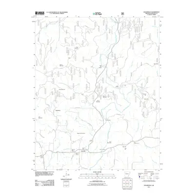
2011 Map of Hagarville
USGS Topo · Published 2011About this map
Hagarville serves as the primary hub for this Johnson County landscape, situated near the confluence of several watercourses including Little Piney Creek and Granny Creek. The settlement pattern is defined by its rural intersections, notably where Hagarville Mountain meets the valley floor near the Hagarville Post Office. For genealogists, the area is exceptionally well-documented by several burial sites, including the Hagarville West Cemetery, Hagarville East Cemetery, and the more remote Annis Chapel Cemetery.
Find a feature on this map
57 named features on this map. Tap any name to fly to it.
Don’t see what you’re looking for? This feature index may not catch every label — zoom into the map to look around manually.
Map Details
Editions of this 2011 Hagarville Map
This is the sole edition of this map. No revisions or reprints were ever made.
Other maps of this area

1888 · Dardanelle #2
USGS Topo · 1:62,500

1888 · Dardanelle #1
USGS Topo · 1:62,500

1889 · Treat
USGS Topo · 1:62,500

1889 · Ozone
USGS Topo · 1:62,500

1890 · Dardanelle
USGS Topo · 1:125,000

1932 · Treat
USGS Topo · 1:62,500

1934 · Treat
USGS Topo · 1:62,500

1934 · Ozone
USGS Topo · 1:62,500

1936 · Ozone
USGS Topo · 1:62,500

1956 · Russellville
USGS Topo · 1:250,000