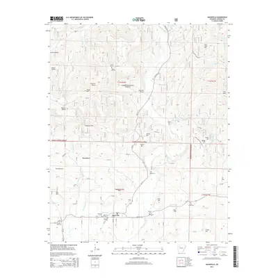
2014 Map of Hagarville
USGS Topo · Published 2014About this map
Hagarville sits at the southern base of a rugged landscape where the northern uplands of the Ozark National Forest meet the rolling creek valleys of Johnson County. The settlement patterns here are defined by topographic constraints, with the town and its associated Hagerville W Cemetery and Hagerville E Cemetery concentrated along Ar-123. North of town, the terrain rises sharply toward Hagarville Mtn and Woods Mtn, where isolated family burial grounds like the Woods Mtn Cemetery and Russell Cemetery provide evidence of early high-elevation homesteading.
Find a feature on this map
82 named features on this map. Tap any name to fly to it.
Don’t see what you’re looking for? This feature index may not catch every label — zoom into the map to look around manually.
Map Details
Editions of this 2014 Hagarville Map
This is the sole edition of this map. No revisions or reprints were ever made.
Other maps of this area

1888 · Dardanelle #2
USGS Topo · 1:62,500

1888 · Dardanelle #1
USGS Topo · 1:62,500

1889 · Treat
USGS Topo · 1:62,500

1889 · Ozone
USGS Topo · 1:62,500

1890 · Dardanelle
USGS Topo · 1:125,000

1932 · Treat
USGS Topo · 1:62,500

1934 · Treat
USGS Topo · 1:62,500

1934 · Ozone
USGS Topo · 1:62,500

1936 · Ozone
USGS Topo · 1:62,500

1956 · Russellville
USGS Topo · 1:250,000