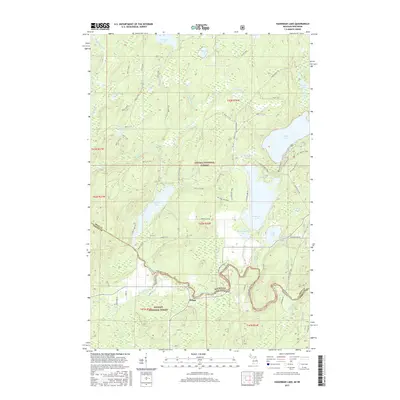
2017 Map of Hagerman Lake
USGS Topo · Published 2017About this map
Nelma sits at the southern edge of this borderland, where the Michigan Wisconsin state line follows the winding course of the Brule River. This heavily forested landscape is divided between the Ottawa National Forest in the north and the Nicolet National Forest to the south. The area is defined by a dense network of water bodies, including Hagerman Lake, Brule Lake, and Ottawa Lake, which are interconnected by numerous small streams such as Lambert Cr and Seventeen Cr.
Find a feature on this map
67 named features on this map. Tap any name to fly to it.
Don’t see what you’re looking for? This feature index may not catch every label — zoom into the map to look around manually.
Map Details
Editions of this 2017 Hagerman Lake Map
This is the sole edition of this map. No revisions or reprints were ever made.
Other maps of this area
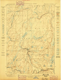
1898 · Iron River
USGS Topo · 1:62,500
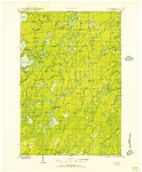
1938 · Alvin
USGS Topo · 1:48,000
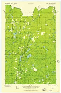
1939 · Long Lake
USGS Topo · 1:48,000
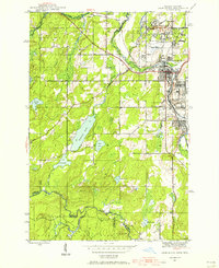
1944 · Iron River
USGS Topo · 1:24,000
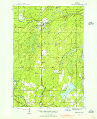
1945 · Gibbs City
USGS Topo · 1:24,000
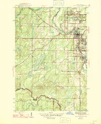
1946 · Iron River
USGS Topo · 1:31,680
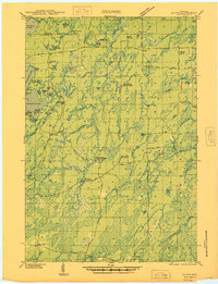
1946 · Alvin
USGS Topo · 1:48,000
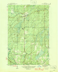
1946 · Gibbs City
USGS Topo · 1:31,680
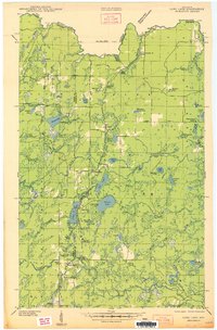
1948 · Long Lake
USGS Topo · 1:48,000

1954 · Iron Mountain
USGS Topo · 1:250,000