
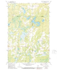
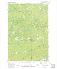
1946 Map of Alvin
USGS Topo · Published 1946About this map
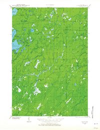
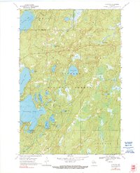
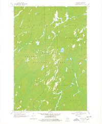
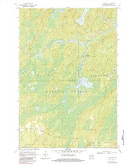
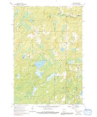
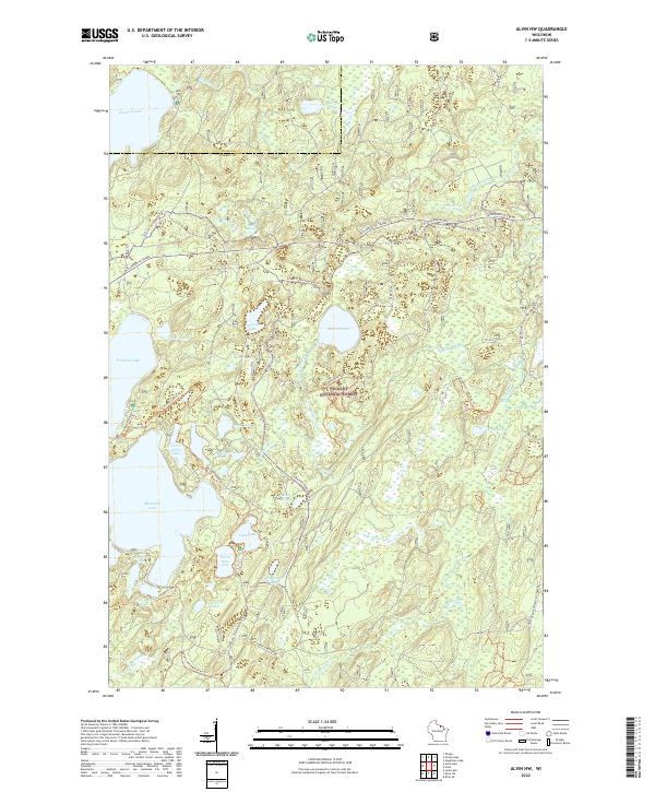
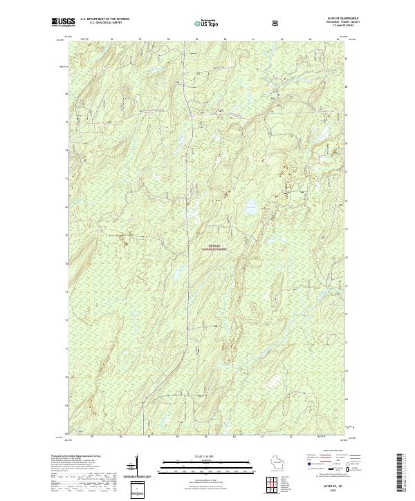
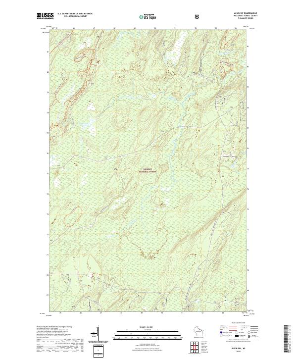
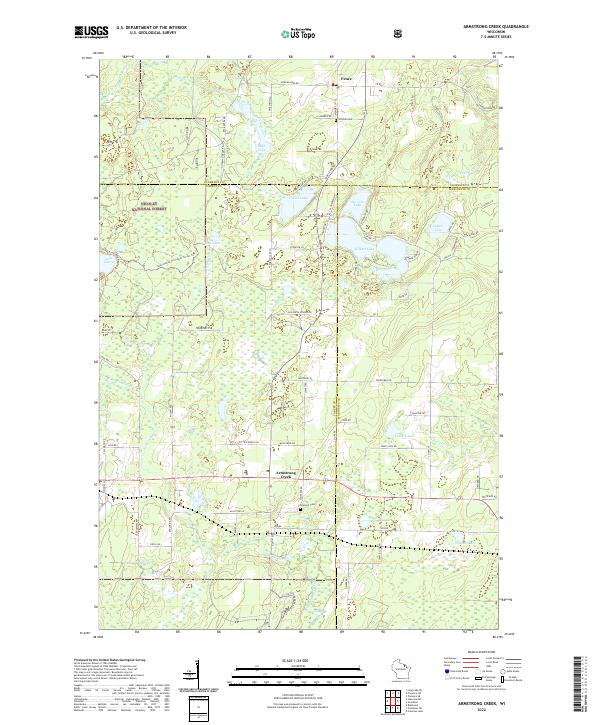
Nicolet National Forest dominates this landscape in northern Forest and Vilas counties, illustrating a region defined by federal conservation and Depression-era infrastructure. The presence of multiple CCC Camps and several fire lookouts, including the Pine River Fire Tower and Jones Dam Fire Tower, speaks to the intensive forest management and public works projects of the late 1930s. The settlement of Alvin serves as the primary hub in a network of primitive roads and specialized trails, including a Lumber Road and various truck trails designed for timber extraction and fire suppression.
Find a feature on this map
55 named features on this map. Tap any name to fly to it.
Don’t see what you’re looking for? This feature index may not catch every label — zoom into the map to look around manually.
Map Details
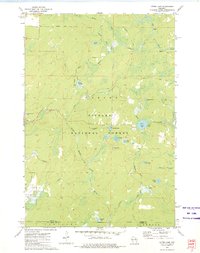
Editions of this 1946 Alvin Map
This is the sole edition of this map. No revisions or reprints were ever made.
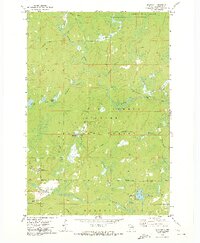
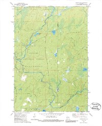
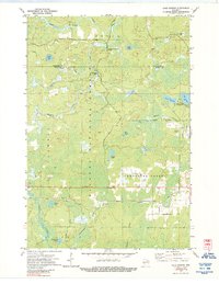
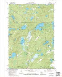
Historical Maps of Phelps Through Time
30 maps found
1938 Alvin
Forest County, WI
1946 Alvin
Forest County, WI
1965 Crandon NE
Forest County, WI
1965 Lake Lucerne
Forest County, WI
1970 Alvin
Forest County, WI
1970 Alvin NW
Forest County, WI
1970 Alvin SE
Forest County, WI
1970 Alvin SW
Forest County, WI
1970 Tipler
Forest County, WI
1972 Armstrong Creek
Forest County, WI
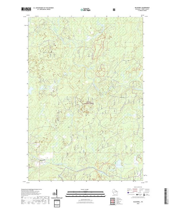
1972 Blackwell
Forest County, WI
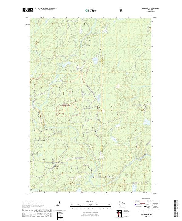
1972 Goodman SW
Forest County, WI
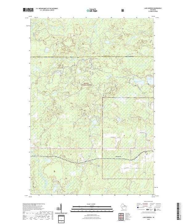
1972 Lake Gordon
Forest County, WI
1972 Mc Caslin Mountain
Forest County, WI
1972 Otter Lake
Forest County, WI
1973 Roberts Lake
Forest County, WI
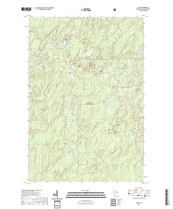
2022 Alvin
Forest County, WI
2022 Alvin NW
Forest County, WI
2022 Alvin SE
Forest County, WI
2022 Alvin SW
Forest County, WI
2022 Armstrong Creek
Forest County, WI
2022 Blackwell
Forest County, WI
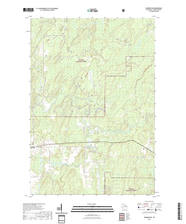
2022 Crandon NE
Forest County, WI
2022 Goodman SW
Forest County, WI
2022 Lake Gordon
Forest County, WI
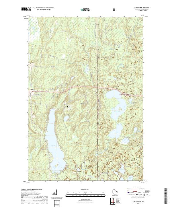
2022 Lake Lucerne
Forest County, WI
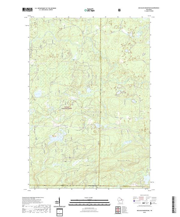
2022 McCaslin Mountain
Forest County, WI
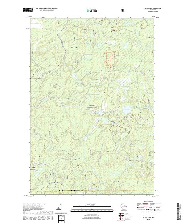
2022 Otter Lake
Forest County, WI
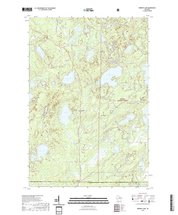
2022 Roberts Lake
Forest County, WI
2022 Tipler
Forest County, WI