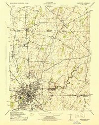
1944 Map of Hagerstown
USGS Topo · Published 1944About this map
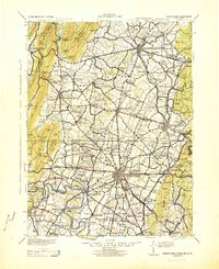
Hagerstown anchors this 1944 survey, appearing as a dense hub of industry and aviation during the mid-century. The Fairchild Aircraft Division and the nearby Hagerstown Municipal Airport highlight the city's wartime role, while the North American Cement Corp and several quarries suggest a robust local economy. North of the city, the landscape transitions into a network of rural school districts, including the White Oak Forest School, Rockdale School, and Hollowell School.
Find a feature on this map
43 named features on this map. Tap any name to fly to it.
Don’t see what you’re looking for? This feature index may not catch every label — zoom into the map to look around manually.
Map Details
Editions of this 1944 Hagerstown Map
2 editions found
Other maps of this area

1900 · Mercersburg
USGS Topo · 1:62,500
1902 · Chambersburg
USGS Topo · 1:62,500

1902 · Mercersburg
USGS Topo · 1:62,500

1909 · Hagerstown
USGS Topo · 1:48,000
1912 · Hagerstown
USGS Topo · 1:62,500

1912 · Williamsport
USGS Topo · 1:62,500

1942 · Hagerstown
USGS Topo · 1:125,000
1943 · Hagerstown
USGS Topo · 1:125,000
1943 · Chambersburg
USGS Topo · 1:62,500
1943 · Mercersburg
USGS Topo · 1:62,500