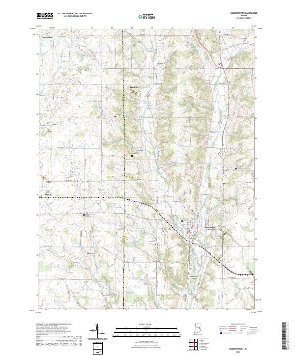
2022 Map of Hagerstown
USGS Topo · Published 2022About this map
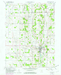
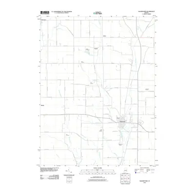
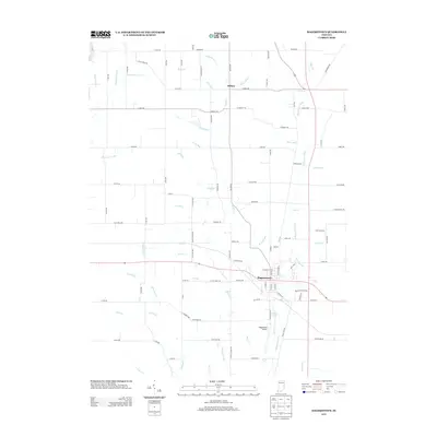
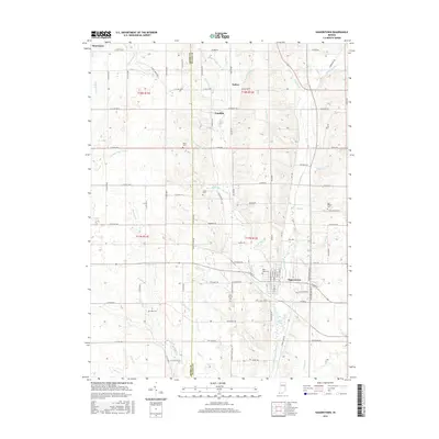
Hagerstown anchors the southeastern corner of this map, serving as a hub where the Whitewater River and several tributary runs meet. This modern survey reflects the enduring agricultural and rural settlement patterns of the Henry and Wayne county line. The landscape is notably dense with family and community burial sites, from the Chicago Corner Cem in the west to the Olive Branch Cem near the eastern boundary. These landmarks, along with small settlements like Dalton and Franklin, trace a lineage of land use that has persisted since the nineteenth century.
Find a feature on this map
90 named features on this map. Tap any name to fly to it.
Don’t see what you’re looking for? This feature index may not catch every label — zoom into the map to look around manually.
Map Details
Editions of this 2022 Hagerstown Map
This is the sole edition of this map. No revisions or reprints were ever made.
Historical Maps of Hagerstown Through Time
6 maps found