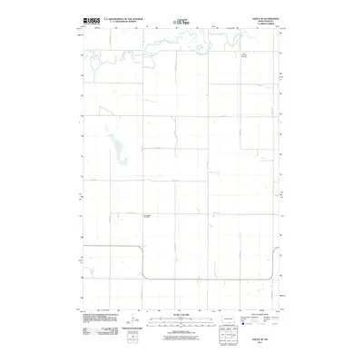
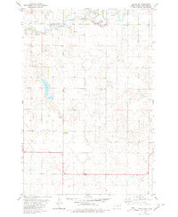
2011 Map of Hague SE
USGS Topo · Published 2011About this map
South Branch Beaver Creek meanders through the northern reaches of this rural landscape in McIntosh County, defining the drainage patterns of the prairie. The area is characterized by a strict section-line grid of roads, including 25th Ave SE and 90th St SE, which facilitate travel between isolated farmsteads. Two significant community landmarks, Saint Andrews Cemetery and Saint Johns Cemetery, stand as indicators of the area's local heritage and early settlement history. The terrain is dotted with small prairie potholes and depressions, typical of the glaciated plains of North Dakota, while the straight paths of roads like 30th Ave SE mark the edges of the township.
Find a feature on this map
14 named features on this map. Tap any name to fly to it.
Don’t see what you’re looking for? This feature index may not catch every label — zoom into the map to look around manually.
Map Details
Editions of this 2011 Hague SE Map
This is the sole edition of this map. No revisions or reprints were ever made.
Other maps of this area

1953 · Jamestown
USGS Topo · 1:250,000

1954 · Aberdeen
USGS Topo · 1:250,000

1956 · Aberdeen
USGS Topo · 1:250,000

1956 · Jamestown
USGS Topo · 1:250,000

1978 · Greenway
USGS Topo · 1:24,000

1978 · Zeeland
USGS Topo · 1:24,000
1978 · Zeeland NW
USGS Topo · 1:24,000
1980 · Hague
USGS Topo · 1:24,000
1980 · Weisser Dam West
USGS Topo · 1:24,000
1980 · Hague SE
USGS Topo · 1:24,000