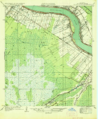
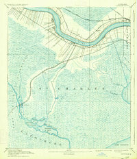
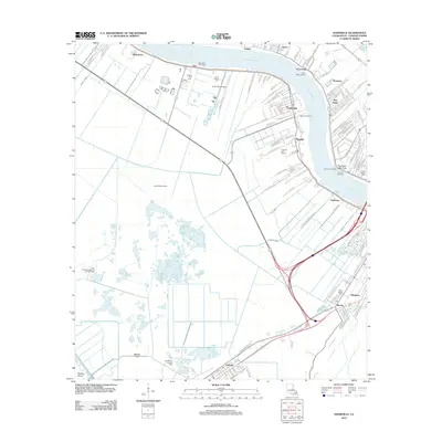
1936 Map of Hahnville
USGS Topo · Published 1936About this map
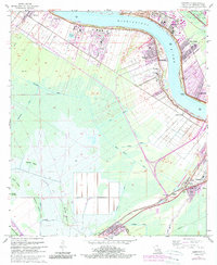
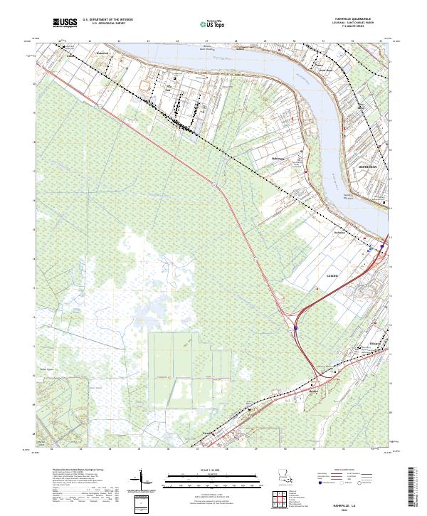
The Mississippi River defines the landscape of St Charles Parish, where the land is carved into the traditional long-lot survey system characteristic of French colonial influence. This 1930s survey captures the riverfront settlements of Hahnville, Killona, and Goodhope during an era of significant infrastructure expansion. The northern portion of the sheet is dominated by the Bonnet Carre Floodway, a massive engineering project designed to protect downstream communities from river surges.
Find a feature on this map
40 named features on this map. Tap any name to fly to it.
Don’t see what you’re looking for? This feature index may not catch every label — zoom into the map to look around manually.
Map Details
Editions of this 1936 Hahnville Map
This is the sole edition of this map. No revisions or reprints were ever made.
Historical Maps of Flagville Through Time
13 maps found
1891 Hahnville
St. Charles Parish, LA
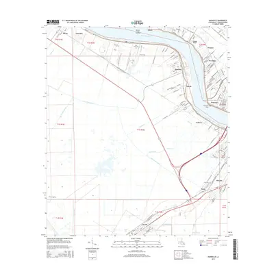
1936 Hahnville
St. Charles Parish, LA
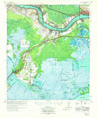
1952 Hahnville
St. Charles Parish, LA
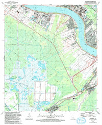
1955 Hahnville
St. Charles Parish, LA
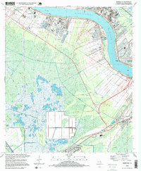
1967 Hahnville
St. Charles Parish, LA
1969 Hahnville
St. Charles Parish, LA
1992 Hahnville
St. Charles Parish, LA
1995 Hahnville
St. Charles Parish, LA
2012 Hahnville
St. Charles Parish, LA
2015 Hahnville
St. Charles Parish, LA
2018 Hahnville
St. Charles Parish, LA
2020 Hahnville
St. Charles Parish, LA
2024 Hahnville
St. Charles Parish, LA