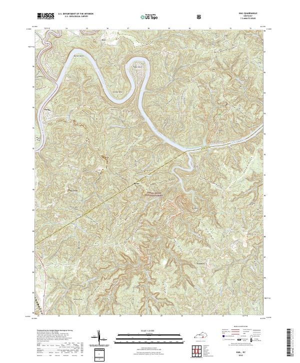
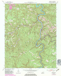
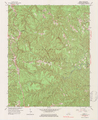
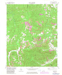
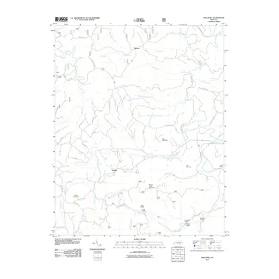
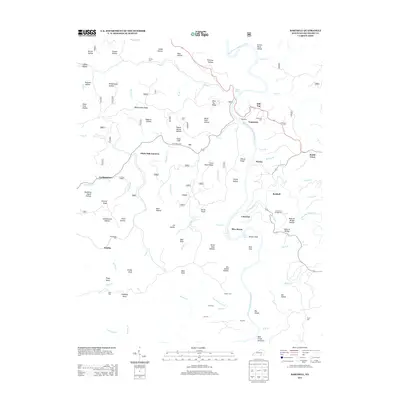
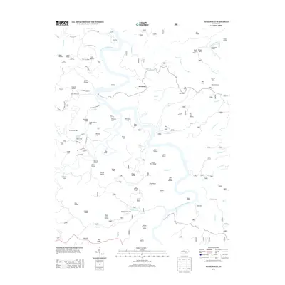
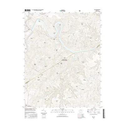
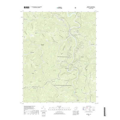
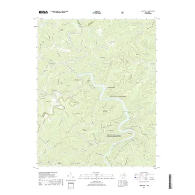
2022 Map of Hail
USGS Topo · Published 2022About this map
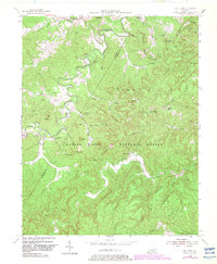
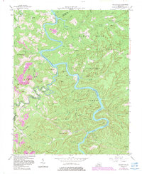
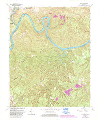
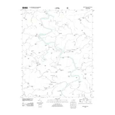
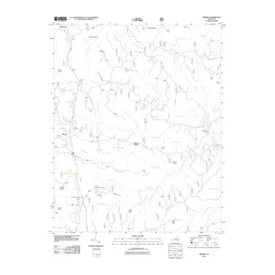
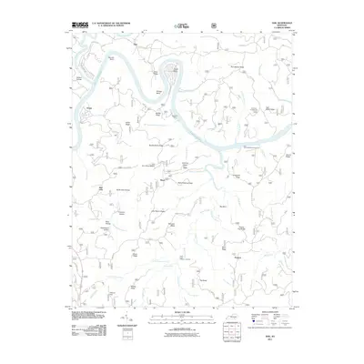
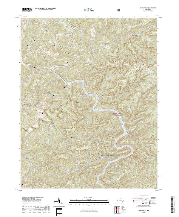
The Cumberland River carves deep, dramatic loops through this portion of the Daniel Boone National Forest, creating isolated peninsulas like Barnett Bend and Jasper Bend. The terrain is characterized by a dense network of ridges and hollows, where small settlements such as Hail, Bauer, and Blue John occupy the limited level ground between steep slopes. Local spiritual life is anchored at Bethel Church, located near the boundary between Pulaski and McCreary counties.
Find a feature on this map
73 named features on this map. Tap any name to fly to it.
Don’t see what you’re looking for? This feature index may not catch every label — zoom into the map to look around manually.
Map Details
Editions of this 2022 Hail Map
This is the sole edition of this map. No revisions or reprints were ever made.
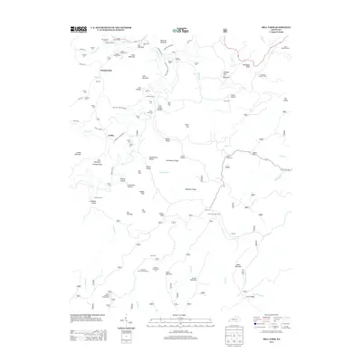
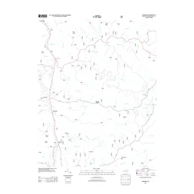
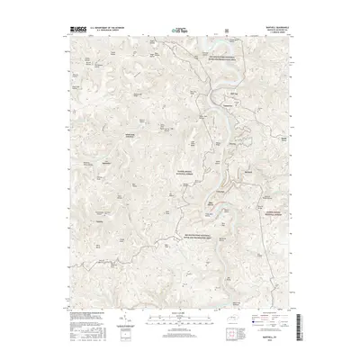
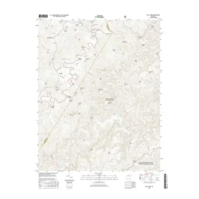
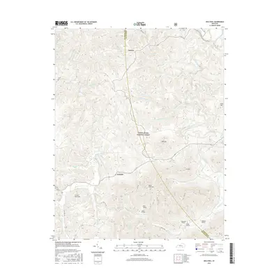
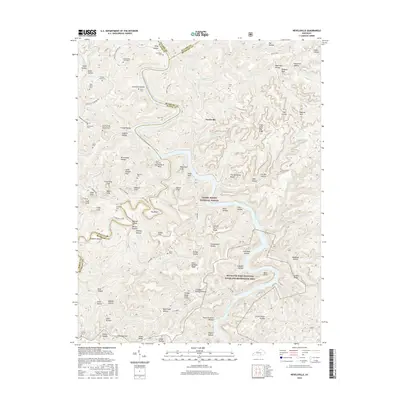
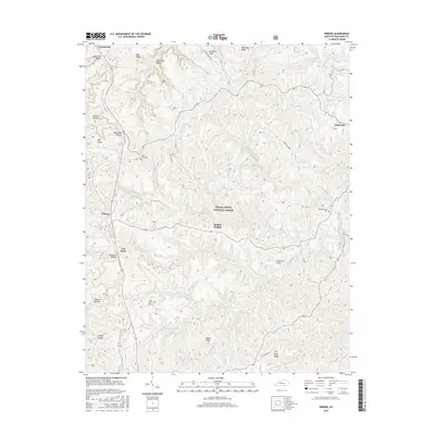
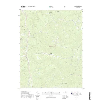
Historical Maps of Bauer Through Time
40 maps found

1934 Barthell
McCreary County, KY
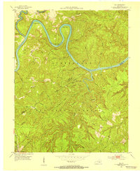
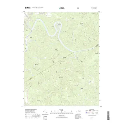
1952 Hail
McCreary County, KY
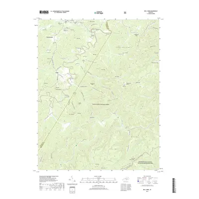
1952 Hollyhill
McCreary County, KY
1952 Wiborg
McCreary County, KY
1954 Barthell
McCreary County, KY
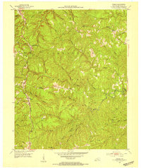
1954 Bell Farm
McCreary County, KY
1954 Nevelsville
McCreary County, KY
1963 Hail
McCreary County, KY
1963 Wiborg
McCreary County, KY
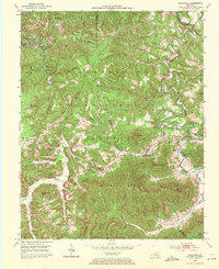
1979 Hollyhill
McCreary County, KY
2010 Barthell
McCreary County, KY
2010 Bell Farm
McCreary County, KY
2010 Hollyhill
McCreary County, KY
2010 Nevelsville
McCreary County, KY
2010 Wiborg
McCreary County, KY
2011 Hail
McCreary County, KY
2013 Barthell
McCreary County, KY
2013 Bell Farm
McCreary County, KY
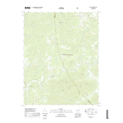
2013 Hail
McCreary County, KY
2013 Hollyhill
McCreary County, KY
2013 Nevelsville
McCreary County, KY
2013 Wiborg
McCreary County, KY
2016 Barthell
McCreary County, KY
2016 Bell Farm
McCreary County, KY
2016 Hail
McCreary County, KY
2016 Hollyhill
McCreary County, KY
2016 Nevelsville
McCreary County, KY
2016 Wiborg
McCreary County, KY
2019 Barthell
McCreary County, KY
2019 Bell Farm
McCreary County, KY
2019 Hail
McCreary County, KY
2019 Hollyhill
McCreary County, KY
2019 Nevelsville
McCreary County, KY
2019 Wiborg
McCreary County, KY
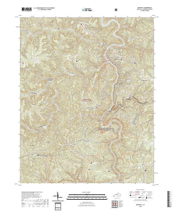
2022 Barthell
McCreary County, KY
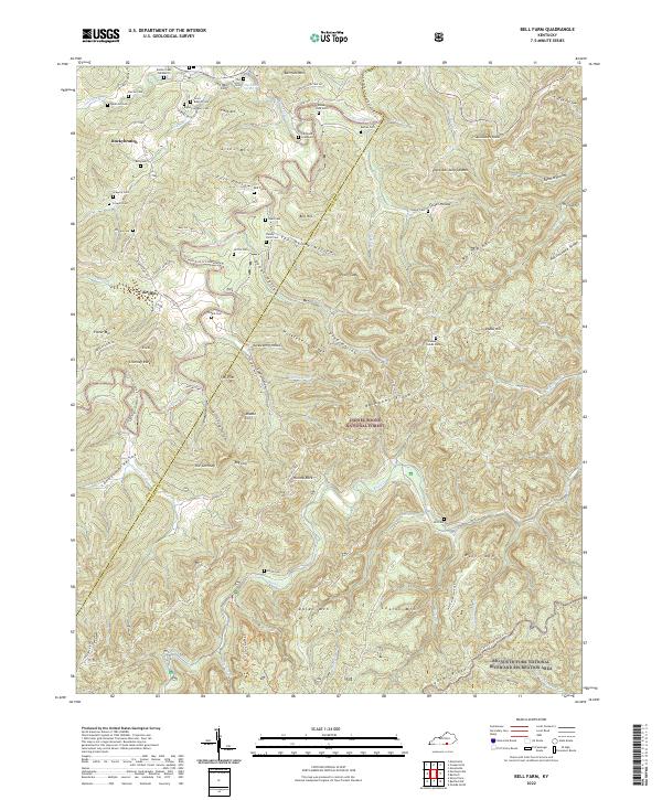
2022 Bell Farm
McCreary County, KY
2022 Hail
McCreary County, KY
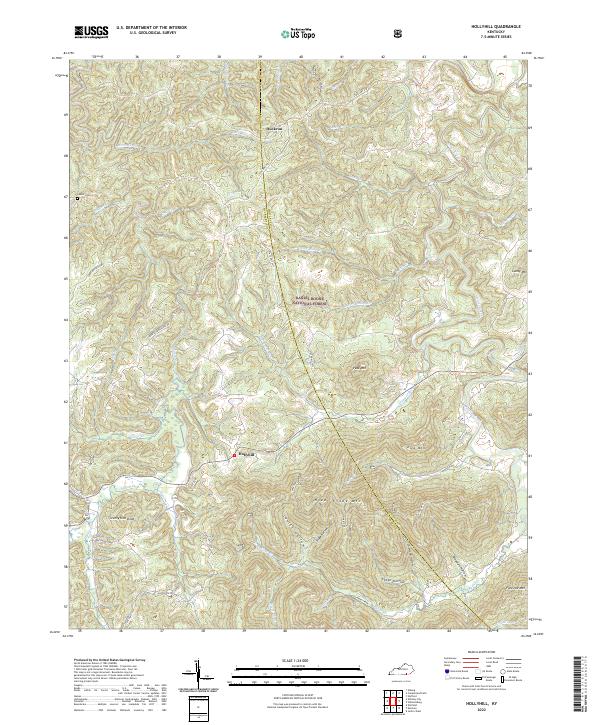
2022 Hollyhill
McCreary County, KY
2022 Nevelsville
McCreary County, KY
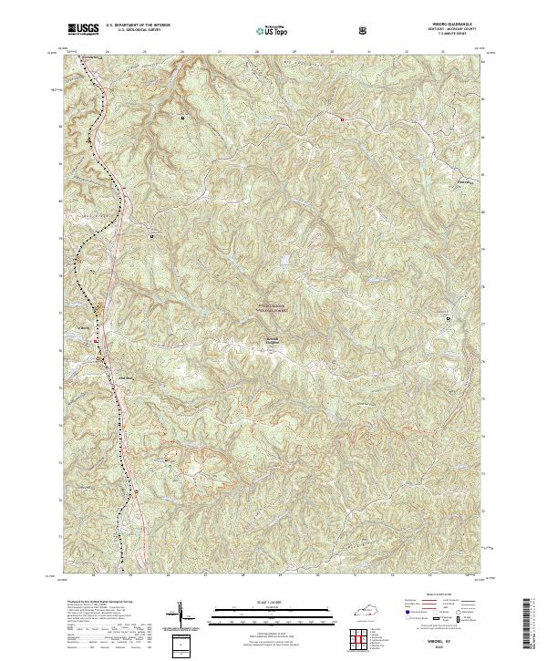
2022 Wiborg
McCreary County, KY