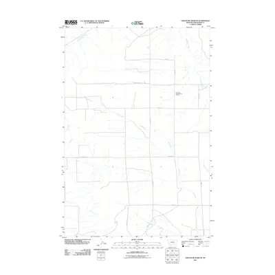
2011 Map of Hailstone Basin SE
USGS Topo · Published 2011About this map
Assumption Catholic Church Cemetery sits at the center of this rural Stillwater County landscape, serving as a primary cultural landmark amid a network of family-named roads and drainage systems. The terrain is defined by the winding paths of several watercourses, most notably Lost Creek, which traverses the center of the sheet, and Gooseneck Creek to the northeast. These creeks are intersected by a grid of local roads such as Hoagland Rd, Brinkel Rd, and Mosdal Rd, indicating a well-established pattern of ranching or agricultural plots in the early 21st century. The map also documents peripheral waterways like Painted Robe Creek and Comanche Creek, illustrating the complex local hydrography that likely dictates land use and property boundaries in this Montana basin.
Find a feature on this map
17 named features on this map. Tap any name to fly to it.
Don’t see what you’re looking for? This feature index may not catch every label — zoom into the map to look around manually.
Map Details
Editions of this 2011 Hailstone Basin SE Map
This is the sole edition of this map. No revisions or reprints were ever made.
Other maps of this area

1889 · Big Snowy Mountain
USGS Topo · 1:250,000

1892 · Stillwater
USGS Topo · 1:125,000

1893 · Big Snowy Mountain
USGS Topo · 1:250,000

1954 · Billings
USGS Topo · 1:250,000

1954 · Roundup
USGS Topo · 1:250,000

1956 · Battle Butte
USGS Topo · 1:24,000

1956 · Wheat Basin
USGS Topo · 1:24,000

1956 · Rock Spring
USGS Topo · 1:24,000

1957 · Billings
USGS Topo · 1:250,000

1958 · Billings
USGS Topo · 1:250,000