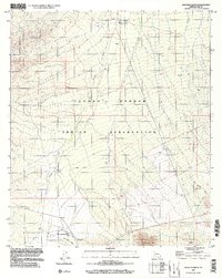
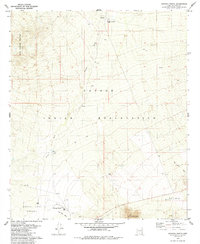
1996 Map of Haivana Nakya
USGS Topo · Published 2002About this map
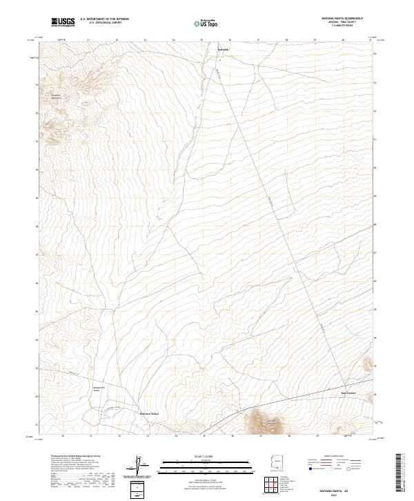
The B A B O Q U I V A R I V A L L E Y anchors this survey of the Tohono O'odham Indian Reservation, showing a landscape defined by seasonal watercourses and remote ranching settlements in the mid-1990s. The village of Haivana Nakya sits at the base of the Quinlan Mountains, where Pavo Kug Wash meets the valley floor. To the north, the small community of Schuchk and the Santa Rosa Ranch are situated near a local Sch and Cem, indicating the long-standing centers of social and family life for the region. The map tracks the drainage patterns of the Anegan Wash and San Vicente Wash as they carve through the arid terrain between the North Comobabi Mountains and the southern peaks. These desert washes and the scattered Well and Water Tank locations illustrate the vital infrastructure required for life and livestock in this portion of Pima County.
Find a feature on this map
28 named features on this map. Tap any name to fly to it.
Don’t see what you’re looking for? This feature index may not catch every label — zoom into the map to look around manually.
Map Details
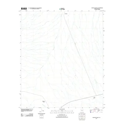
Editions of this 1996 Haivana Nakya Map
This is the sole edition of this map. No revisions or reprints were ever made.
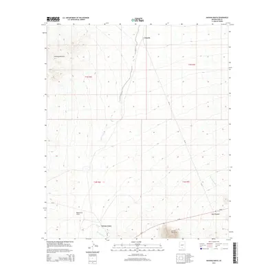
Historical Maps of Schuk Toak District Through Time
6 maps found
Featured Locations
- Pima County, AZ
- Schuk Toak District, AZ
- Haivana Nakya, Schuk Toak District
- San Vicente, Schuk Toak District
- Schuchk, Schuk Toak District