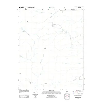
2012 Map of Haiwee Pass
USGS Topo · Published 2012About this map
Olancha Pass and Haiwee Pass anchor this high-elevation landscape in the eastern Sierra, where historical access routes transition from the desert valley floor to the alpine meadows above. The map details a network of drainage systems and watering points essential for early travel and livestock, including Soda Spring and the upper reaches of the S Fork Kern River. The terrain is defined by named clearings and high-altitude pastures like Bear Trap Meadow, Summit Meadow, and Sage Flat. These features, alongside the Olancha Pass- Sage Flat Trailhead, trace the infrastructure of backcountry movement. Further south, the map identifies Dutch John Flat and Deer Mountain, illustrating a topography of isolated peaks and secluded flats reached by Walker Creek Rd and Sage Flats Rd.
Find a feature on this map
21 named features on this map. Tap any name to fly to it.
Don’t see what you’re looking for? This feature index may not catch every label — zoom into the map to look around manually.
Map Details
Editions of this 2012 Haiwee Pass Map
This is the sole edition of this map. No revisions or reprints were ever made.
Other maps of this area
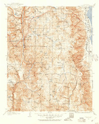
1905 · Olancha
USGS Topo · 1:125,000
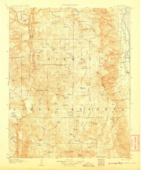
1907 · Olancha
USGS Topo · 1:125,000
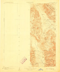
1908 · Ballarat
USGS Topo · 1:250,000
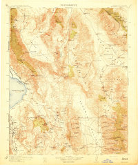
1913 · Ballarat
USGS Topo · 1:250,000
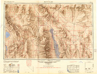
1948 · Death Valley
USGS Topo · 1:250,000

1948 · Fresno
USGS Topo · 1:250,000
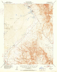
1951 · Keeler
USGS Topo · 1:62,500
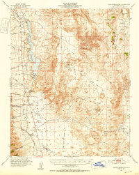
1951 · Haiwee Reservoir
USGS Topo · 1:62,500
1954 · Death Valley
USGS Topo · 1:250,000
1955 · Fresno
USGS Topo · 1:250,000