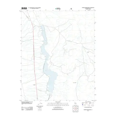
2012 Map of Haiwee Reservoirs
USGS Topo · Published 2012About this map
The Los Angeles Aqueduct and Second Los Angeles Aqueduct define the industrial and hydrological character of this high-desert corridor. These massive infrastructure projects parallel the western shoreline of the North Haiwee Reservoir and South Haiwee Reservoir, which serve as critical storage and regulation points for water traveling south. Near the southern edge of the upper reservoir, the small settlement of Haiwee stands as a focal point for the maintenance and management of this complex system.
Find a feature on this map
14 named features on this map. Tap any name to fly to it.
Don’t see what you’re looking for? This feature index may not catch every label — zoom into the map to look around manually.
Map Details
Editions of this 2012 Haiwee Reservoirs Map
This is the sole edition of this map. No revisions or reprints were ever made.
Other maps of this area

1905 · Olancha
USGS Topo · 1:125,000

1907 · Olancha
USGS Topo · 1:125,000

1908 · Ballarat
USGS Topo · 1:250,000

1913 · Ballarat
USGS Topo · 1:250,000

1948 · Death Valley
USGS Topo · 1:250,000

1948 · Fresno
USGS Topo · 1:250,000

1951 · Keeler
USGS Topo · 1:62,500

1951 · Haiwee Reservoir
USGS Topo · 1:62,500

1954 · Death Valley
USGS Topo · 1:250,000

1955 · Fresno
USGS Topo · 1:250,000