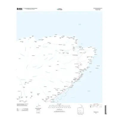
2013 Map of Halawa
USGS Topo · Published 2013About this map
Hālawa and the surrounding coastline of eastern Moloka‘i are defined by a series of deep valleys and dramatic coastal features. This 2013 survey illustrates a landscape where short, steep streams like Hālawa Stream and Honouliwai Stream carve through the terrain to meet the Pacific Ocean. Settlement is concentrated along the southeastern shore, where Waialua and Pauwalu are connected by Route 450. Historically significant sites, including Welokā Heiau and Malieola Heiau, indicate the deep cultural footprint on this land. High-altitude waterfalls such as Kahiwa Falls and Hipuapua Falls mark the interior ridges, while the Pu‘uohoku Ranch and Brandt Field Airport represent more contemporary land use. The map also captures the maritime boundary of the Pailolo Channel, providing a clear view of the area's transition from steep mountain gulches to the sea.
Find a feature on this map
157 named features on this map. Tap any name to fly to it.
Don’t see what you’re looking for? This feature index may not catch every label — zoom into the map to look around manually.
Map Details
Editions of this 2013 Halawa Map
This is the sole edition of this map. No revisions or reprints were ever made.
Other maps of this area

1952 · Halawa
USGS Topo · 1:24,000

1952 · Kamalo
USGS Topo · 1:24,000

1954 · Maui
USGS Topo · 1:250,000

1956 · Honolua
USGS Topo · 1:24,000

1966 · Maui
USGS Topo · 1:250,000

1968 · Halawa
USGS Topo · 1:24,000
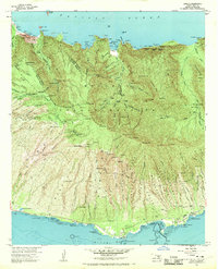
1968 · Kamalo
USGS Topo · 1:24,000

1974 · Maui
USGS Topo · 1:250,000
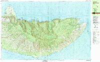
1983 · Molokai East
USGS Topo · 1:25,000
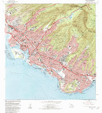
1983 · Honolua
USGS Topo · 1:24,000