
1986 Map of Halbert Creek South
USGS Topo · Published 1986About this map
Hedgesville stands as a focal point in this central Montana landscape, situated near the winding course of Careless Creek. The 1986 survey documents a region defined by its drainages and ranching geography, where the border between Wheatland Co and Golden Valley Co bisects the terrain. The map details a network of waterways including Walters Coulee, Halbert Creek, and Spring Creek, which shape the local topography.
Find a feature on this map
9 named features on this map. Tap any name to fly to it.
Don’t see what you’re looking for? This feature index may not catch every label — zoom into the map to look around manually.
Map Details
Editions of this 1986 Halbert Creek South Map
This is the sole edition of this map. No revisions or reprints were ever made.
Other maps of this area

1889 · Big Snowy Mountain
USGS Topo · 1:250,000

1893 · Big Snowy Mountain
USGS Topo · 1:250,000

1954 · Roundup
USGS Topo · 1:250,000

1958 · Roundup
USGS Topo · 1:250,000

1986 · Ryegate West
USGS Topo · 1:24,000

1986 · Shawmut
USGS Topo · 1:24,000
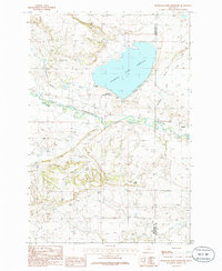
1986 · Deadmans Basin Reservoir
USGS Topo · 1:24,000

1986 · Halbert Creek North
USGS Topo · 1:24,000

1986 · Wallum
USGS Topo · 1:24,000
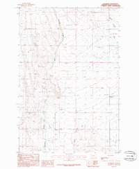
1986 · Rothiemay
USGS Topo · 1:24,000